
Drives California The Eastern Sierra
Whitney Portal Road
Whitney Portal Road · Lone Pine → Whitney Portal

The drive
Whitney Portal Road heads west from the stoplight in Lone Pine, on Highway 395, straight at the wall of the Sierra. About two and a half miles out it crosses the Alabama Hills, a jumble of boulders that Congress made a National Scenic Area in 2019. More than 400 movies have been filmed here since 1920, and Movie Road, which branches off to the right, leads into the hills where many of them were shot.
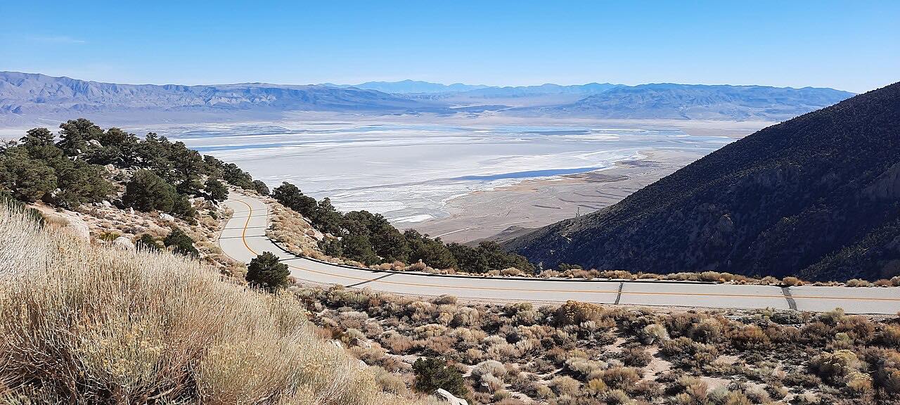
Past the hills the road runs up the open slope toward the mountains, then climbs the face of the range in long switchbacks. It ends at Whitney Portal, where the trail to Mount Whitney begins. The road dead-ends there, so you come back down the same way.
Storm damage has closed the road for long periods, most recently after Hurricane Hilary, when the county and the Federal Highway Administration rebuilt it.
Along the way
- Lone Pine (Highway 395)
- Alabama Hills (Movie Road)
- Whitney Portal
Good to know
- The upper road, through the switchbacks, closes for winter and usually opens from about May to early November; Inyo County lists its status.
- In spring, watch for fallen rocks on the upper road; the county warns that slopes are loose after the thaw.
- Hiking the Mount Whitney Trail past Lone Pine Lake needs a permit, even as a day hike, and permits are limited in peak season.
- Camping in the Alabama Hills needs a free BLM permit, and it's first come, first served.
Upper road closed by snow from about November to late April. Roads close for snow, fire, storms and repairs: before you set off, check Inyo County road open/closed status.
Questions about this drive
How long does it take to drive Whitney Portal Road?
Whitney Portal Road from Lone Pine to Whitney Portal is about 11 miles and takes around 25 minutes, climbing 4,400 feet.
Is Whitney Portal Road open?
The upper road closes each winter, usually from about November to May, and storms have closed it for long stretches before, so check Inyo County's road status before going.
Do you need a permit to drive to Whitney Portal?
No permit is needed to drive Whitney Portal Road. You need one to hike the Mount Whitney Trail beyond Lone Pine Lake, for day hikes as well as overnight trips.
Where is Movie Road on Whitney Portal Road?
Movie Road turns off Whitney Portal Road to the right about 2.5 miles west of Lone Pine, into the Alabama Hills, where more than 400 films have been shot.
What you get in the app
Free on iPhone and Android. CarPlay and Android Auto come with Apex.
More drives near here


Distance, time, elevation, curves and intensity are from Carve's route. Checked 2026-10-28.