Drives California The Eastern Sierra
Horseshoe Meadow Road
Horseshoe Meadow Road, Horseshoe Meadows Road · Whitney Portal Road junction → Horseshoe Meadow

The drive
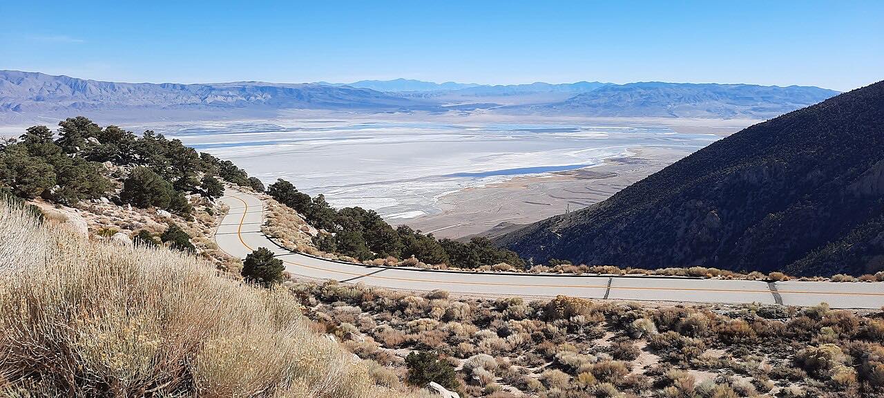
Horseshoe Meadow Road climbs from the foot of the Sierra near Lone Pine up to about 9,700 feet in 17 miles. It starts at its junction with Whitney Portal Road and heads south, gaining about 5,800 feet in a long series of switchbacks with views back over the Owens Valley.
The road is two lanes. At the top it reaches the high meadow, where the Cottonwood Lakes trailheads are. The drive ends on the road short of the trailhead spurs.
From Lone Pine the Forest Service describes about 20 miles in all to the Cottonwood Lakes trailhead turnoff. This drive covers the climb itself, which takes about 45 minutes.
Along the way
- Whitney Portal Road junction
- Horseshoe Meadow
Good to know
- Snow closes the road in winter. It is usually open from late May to October.
- The road is a long climb of switchbacks, and the descent is hard on brakes.
- The road ends at trailheads, so it's an out-and-back, and there are no services at the top.
- The high elevation brings cold nights and sudden weather even in summer.
Closed by snow in winter. Roads close for snow, fire, storms and repairs: before you set off, check Inyo National Forest: alerts and closures.
Questions about this drive
When is Horseshoe Meadow Road open?
It is usually open from late May to October and closed by snow in winter. Check the Inyo National Forest alerts page before going.
How long does Horseshoe Meadow Road take?
From the Whitney Portal Road junction to Horseshoe Meadow is 17.4 miles and about 45 minutes.
How high does Horseshoe Meadow Road go?
The high point is about 9,700 feet, after roughly 5,800 feet of climb.
Where does Horseshoe Meadow Road start?
It leaves Whitney Portal Road west of Lone Pine, about 3.5 miles from US 395, and heads south up the mountain.
What you get in the app
Free on iPhone and Android. CarPlay and Android Auto come with Apex.
More drives near here


Distance, time, elevation, curves and intensity are from Carve's route. Checked 2026-10-28.