

The drive
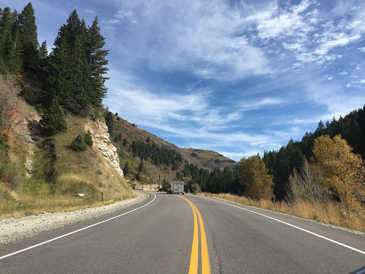
The Nebo Loop climbs from Payson up Payson Canyon past alpine lakes and aspen to 9,300 feet beside Mount Nebo. It then drops past the red hoodoos of Devils Kitchen to Salt Creek Canyon on Highway 132 near Nephi. It is 35.9 miles and about 1 hr 15 min, with three twisty stretches.
The Forest Service describes Devils Kitchen as a geologic site with picnic facilities, a paved trail and an observation deck. A half-mile round-trip trail leads to the hoodoos. The Payson Lakes Recreation Area is about 12 miles south of Payson.
The road is narrow with blind curves, and it closes for winter.
Along the way
- Payson
- Devils Kitchen
- Highway 132 (Salt Creek Canyon)
Good to know
- The road is narrow with blind curves, and trailers are not allowed, according to local reporting.
- It usually closes for snow around November 1 and reopens in late May or June.
- Fall color weekends can be slow.
Closed by snow from about November to late May. Roads close for snow, fire, storms and repairs: before you set off, check Forest Service: Nebo Loop.
Questions about this drive
How long does the Nebo Loop take?
The Nebo Loop from Payson to Highway 132 is 35.9 miles and takes about 1 hr 15 min.
When does the Nebo Loop close?
It usually closes for snow around November 1 and opens in late May or June.
What is Devils Kitchen on the Nebo Loop?
It is a geologic site with red rock hoodoos, a picnic area, a paved trail and an observation deck.
What you get in the app
Free on iPhone and Android. CarPlay and Android Auto come with Apex.
More drives near here




Distance, time, elevation, curves and intensity are from Carve's route. Checked 2026-10-28.