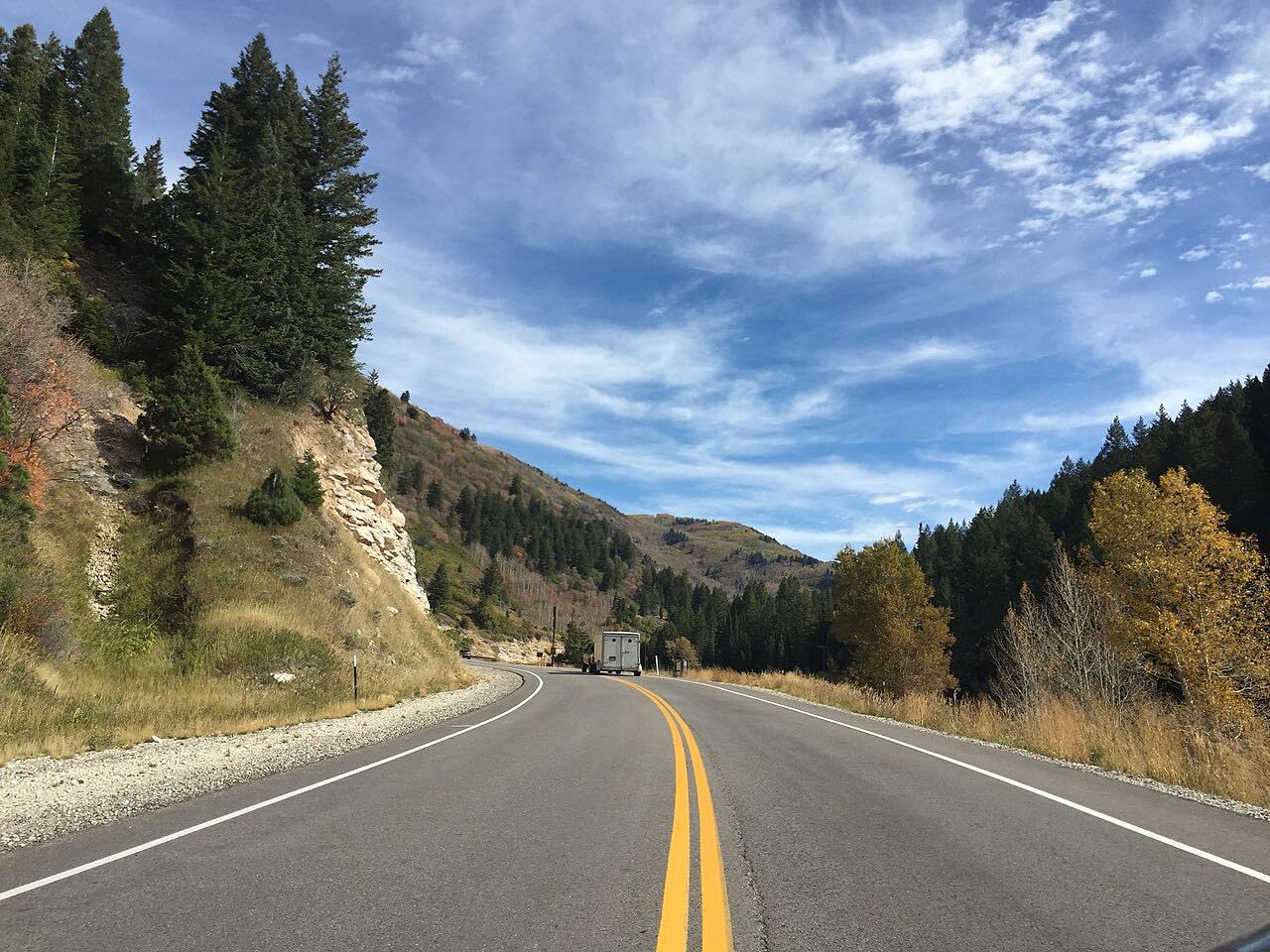

The drive
Highway 190 runs from the canyon mouth at the edge of Salt Lake City up Big Cottonwood Canyon beside the creek. It climbs close to 4,000 feet through tight curves and cliffs, passes Solitude, and ends at Brighton, where the road loops. It is 9.7 miles and about 15 minutes.
Guardsman Pass to Park City leaves near the top and is its own drive. The canyon road is open all year, since it serves the ski areas.
In winter the drive depends on snow and avalanche control.
Along the way
- Canyon mouth
- Solitude
- Brighton
Good to know
- UDOT enforces a traction law in winter and may close the canyon for avalanche control.
- Highway 190 continues to Guardsman Pass, which is a separate seasonal road with its own closures; this drive stays in the canyon.
Open all year, weather permitting. Roads close for snow, fire, storms and repairs: before you set off, check UDOT Traffic.
Questions about this drive
How long is Big Cottonwood Canyon?
Highway 190 from the canyon mouth to Brighton is 9.7 miles and takes about 15 minutes.
Is Big Cottonwood Canyon open in winter?
Yes, but UDOT enforces a traction law and may close the canyon for avalanche control.
What you get in the app
Free on iPhone and Android. CarPlay and Android Auto come with Apex.
More drives near here


Distance, time, elevation, curves and intensity are from Carve's route. Checked 2026-10-28.