
Drives Utah Salt Lake and the Wasatch
Little Cottonwood Canyon
UT 210 · Wasatch Boulevard → Alta

The drive
Little Cottonwood Canyon is the road to Snowbird and Alta, the two ski areas at the top of Salt Lake County's Wasatch Range. SR 210 starts on Wasatch Boulevard at the mouth of the canyon, turns east into the mountains, and climbs about 3,200 feet in under eight miles to Alta at 8,616 feet.
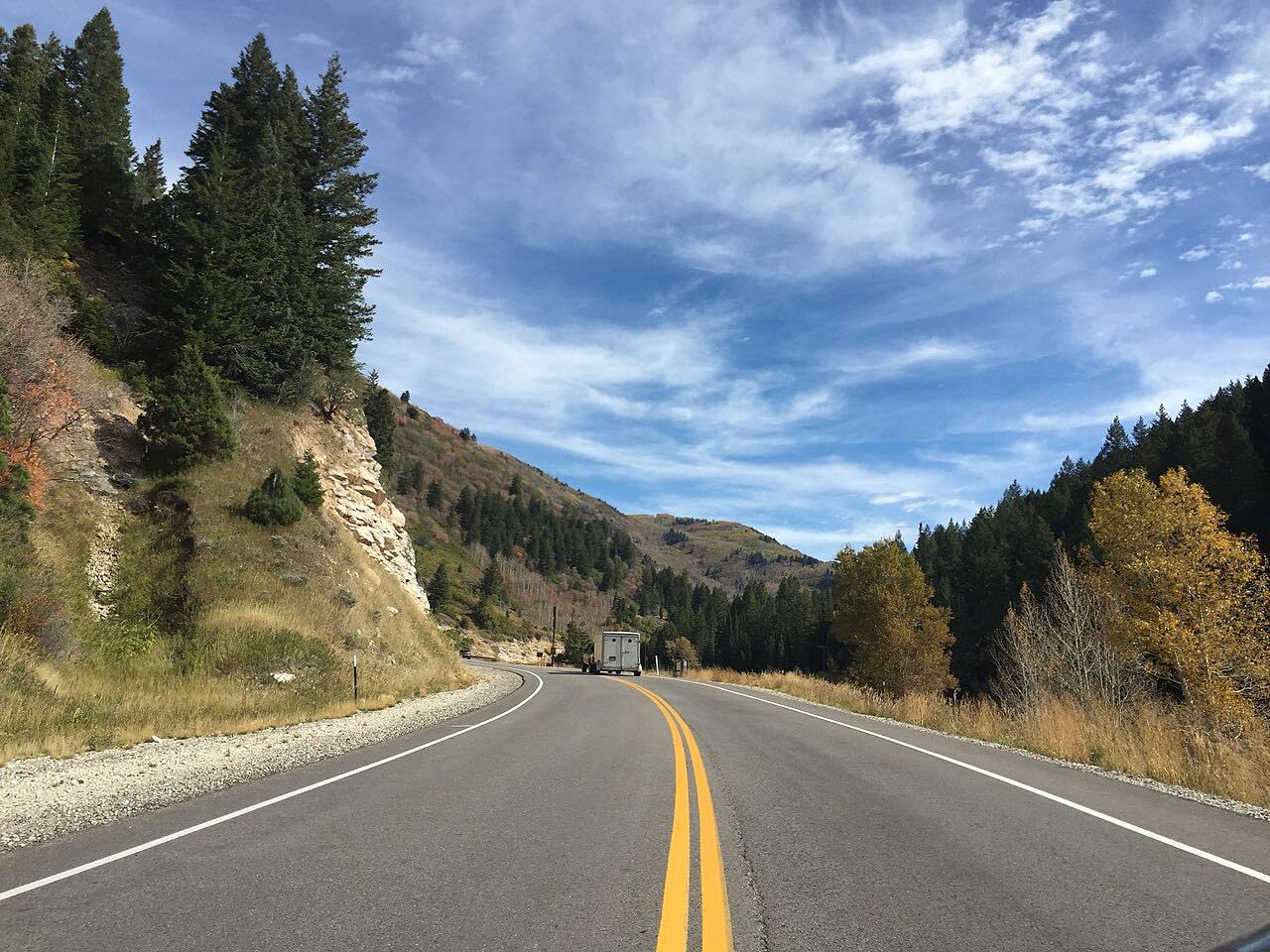
The canyon is steep-walled and glacier-carved, and the road bends from the first mile to the last. You pass Snowbird before the road ends at Alta. In summer it is a short, quick climb with cyclists on the shoulder. In winter it is a different road: the canyon has roughly 27 avalanche chutes, and UDOT closes it for avalanche control when storms hit.
It is a short drive, 7.9 miles and about 14 minutes, so it pairs easily with a trip to Big Cottonwood Canyon next door or a day at either resort.
Along the way
- Wasatch Boulevard (canyon mouth)
- Alta
Good to know
- In winter, UDOT closes SR 210 for avalanche control during storms, and a traction law can be in effect, so carry chains or have a four-wheel-drive vehicle with snow tires.
- Expect cyclists on the climb in summer, and heavy resort traffic on powder days.
- The road is a dead end at Alta, so you return the way you came.
- Check UDOT Traffic before you leave, since closures can start and end with little notice.
Open all year, weather permitting. Roads close for snow, fire, storms and repairs: before you set off, check UDOT Traffic.
Questions about this drive
How long does Little Cottonwood Canyon take to drive?
The Little Cottonwood Canyon drive from Wasatch Boulevard to Alta is 7.9 miles and takes about 14 minutes without stops or winter traffic.
Is Little Cottonwood Canyon open in winter?
SR 210 is a year-round road that serves Snowbird and Alta, but UDOT closes it during storms for avalanche control. A traction law can also apply, so check UDOT Traffic first.
Where does Little Cottonwood Canyon road end?
SR 210 runs up Little Cottonwood Canyon past Snowbird and ends at the Alta ski area.
Is Little Cottonwood Canyon twisty?
Yes. The road follows a steep-walled glacial canyon with bend after bend all the way up to Alta.
What you get in the app
Free on iPhone and Android. CarPlay and Android Auto come with Apex.
More drives near here


Distance, time, elevation, curves and intensity are from Carve's route. Checked 2026-10-28.