
Drives Nova Scotia Nova Scotia, New Brunswick and Prince Edward Island
Cape George Scenic Drive: Route 337
NS 337, Lakevale Heights Road, Glebe Road · Lakevale → Cape George

The drive
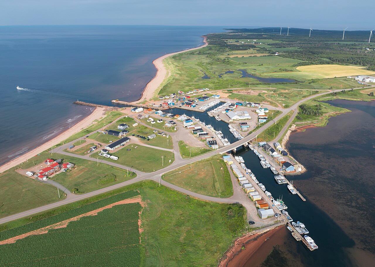
Route 337 runs around Cape George in Antigonish County, often called the Mini Cabot Trail. It follows the shoreline past small fishing communities, with frequent views over St. George's Bay and, on clear days, toward Cape Breton Island and Prince Edward Island.
Ballantyne's Cove has a turnout where you can look ahead along the coast. Mahoneys Beach offers wide views of the bay, and Cribbons Beach lies further along. The Cape George Lighthouse, a red-and-white tower, is reached by a road marked Lighthouse Road, with parking and an interpretive board nearby. The current light is the third on the site.
The road is small, hilly and winding, with little traffic. It is part of the Sunrise Trail along the Northumberland Shore.
Along the way
- Lakevale
- Cape George
Good to know
- The road is narrow and hilly, so go slowly on blind crests and bends.
- Fog can reduce the views; pick a clear day for the best vistas.
- Lighthouse Road is a side road off Route 337.
Open all year, weather permitting. Roads close for snow, fire, storms and repairs: before you set off, check Nova Scotia 511.
Questions about this drive
How long is the Cape George drive on Route 337?
This Cape George drive on Route 337 is 16.7 miles and takes about 37 minutes. The full scenic loop from Antigonish is longer, about 53 km by one government account.
Why is Cape George called the Mini Cabot Trail?
It is a coastal drive with hills and sea views that resembles Cape Breton's Cabot Trail on a smaller scale.
Where is the Cape George Lighthouse?
It is on the point at the end of Lighthouse Road, a side road off Route 337, with parking and an interpretive board.
What you get in the app
Free on iPhone and Android. CarPlay and Android Auto come with Apex.
More drives near here



Distance, time, elevation, curves and intensity are from Carve's route. Checked 2026-10-28.