
Drives Nova Scotia Nova Scotia, New Brunswick and Prince Edward Island
Ceilidh Trail: Port Hood to Margaree
Highway 19, Shore Road, NS 219 · Port Hood → Margaree Harbour

The drive
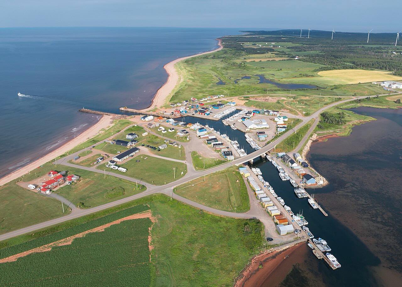
Trunk 19 is the Ceilidh Trail, and it's still called Route 19 locally. It runs about 66 miles from Port Hastings, at the east end of the Canso Causeway, to Margaree Forks. This drive starts at Port Hood, where the road follows the west coast and then turns inland.
From Port Hood it heads northeast through Mabou, returns to the coast at Inverness, and then goes inland again. A junction with Route 219 leads east toward Chimney Corner and Margaree Harbour, where this drive ends at the Cabot Trail.
The drive is 41.4 miles and takes about an hour, with mostly gentle curves.
Along the way
- Port Hood
- Mabou
- Inverness
- Margaree Harbour (Cabot Trail)
Good to know
- Check 511 Nova Scotia for work zones and lane restrictions before you go.
- The drive leaves Highway 19 for Route 219 to reach Margaree Harbour.
Open all year, weather permitting. Roads close for snow, fire, storms and repairs: before you set off, check 511 Nova Scotia.
Questions about this drive
How long does the Ceilidh Trail from Port Hood to Margaree take?
Port Hood to Margaree Harbour is 41.4 miles and takes about an hour without stops.
Where does the Ceilidh Trail start?
Trunk 19 starts at Port Hastings, at the east end of the Canso Causeway, and runs to Margaree Forks. This drive begins farther up, at Port Hood.
What you get in the app
Free on iPhone and Android. CarPlay and Android Auto come with Apex.
More drives near here




Distance, time, elevation, curves and intensity are from Carve's route. Checked 2026-10-28.