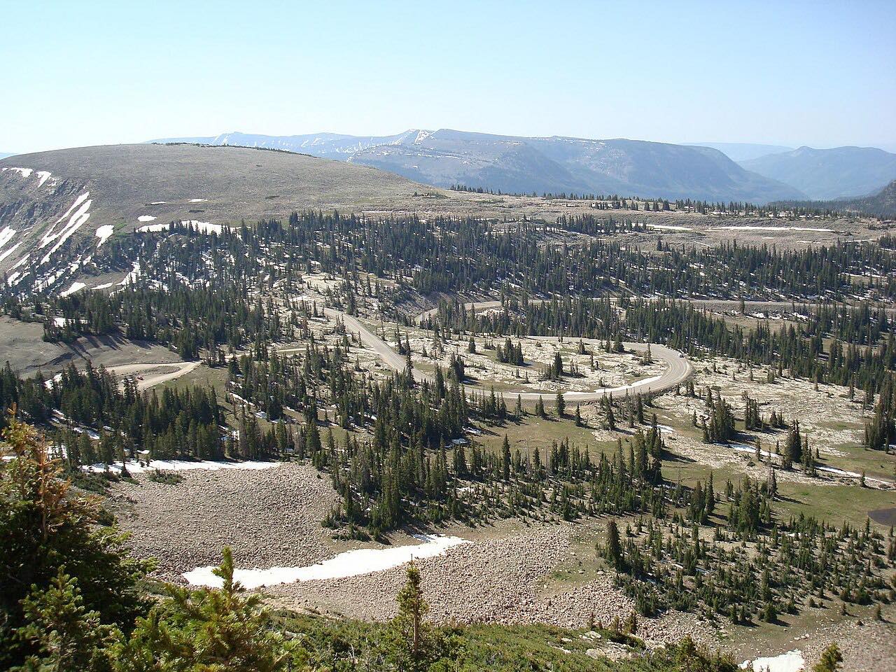

The drive
Highway 150 leaves Kamas and climbs the Provo River into the Uinta Mountains. It crosses Bald Mountain Pass at 10,700 feet, passes Provo River Falls, the lake the highway is named for and many others, and descends toward Wyoming along the Bear River. It is 54.5 miles and about 1 hr 10 min, with gentle curves.
This is one of the highest paved roads in the state. Driving through is free, but stopping at the scenic corridor needs a recreation pass.
The high section closes for winter.
Along the way
- Kamas
- Provo River Falls
- Bald Mountain Pass
- Wyoming line
Good to know
- The Forest Service lists a recreation pass for the scenic corridor: $10 for 3 days, $20 for 7 days or $60 annual.
- The high section of Highway 150 usually closes from about November to late May or June, so check UDOT's seasonal road status.
The high section closes by snow from about November to late May or June. Roads close for snow, fire, storms and repairs: before you set off, check UDOT seasonal road status.
Questions about this drive
How long does Highway 150 take?
Highway 150 from Kamas to the Wyoming line is 54.5 miles and takes about 1 hr 10 min.
Is Highway 150 open in winter?
No. UDOT closes the high section from about November until late May or June, so check seasonal road status.
Is there a fee for Highway 150?
Driving through is free. The Forest Service charges a recreation fee to stop in the scenic corridor: $10 for 3 days.
What you get in the app
Free on iPhone and Android. CarPlay and Android Auto come with Apex.
More drives near here



Distance, time, elevation, curves and intensity are from Carve's route. Checked 2026-10-28.