Drives Massachusetts The Berkshires and Western Massachusetts
Mohawk Trail
MA 2, Mohawk Trail · Greenfield → North Adams

The drive
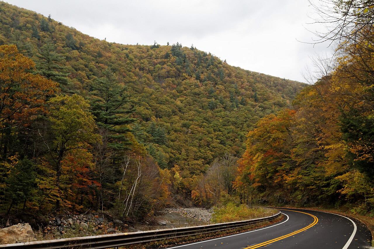
The Mohawk Trail follows Massachusetts Route 2, and it began as a Native American trade route linking Atlantic tribes with tribes in upstate New York. This drive runs west from Greenfield, where Route 2 takes over from 2A, to North Adams.
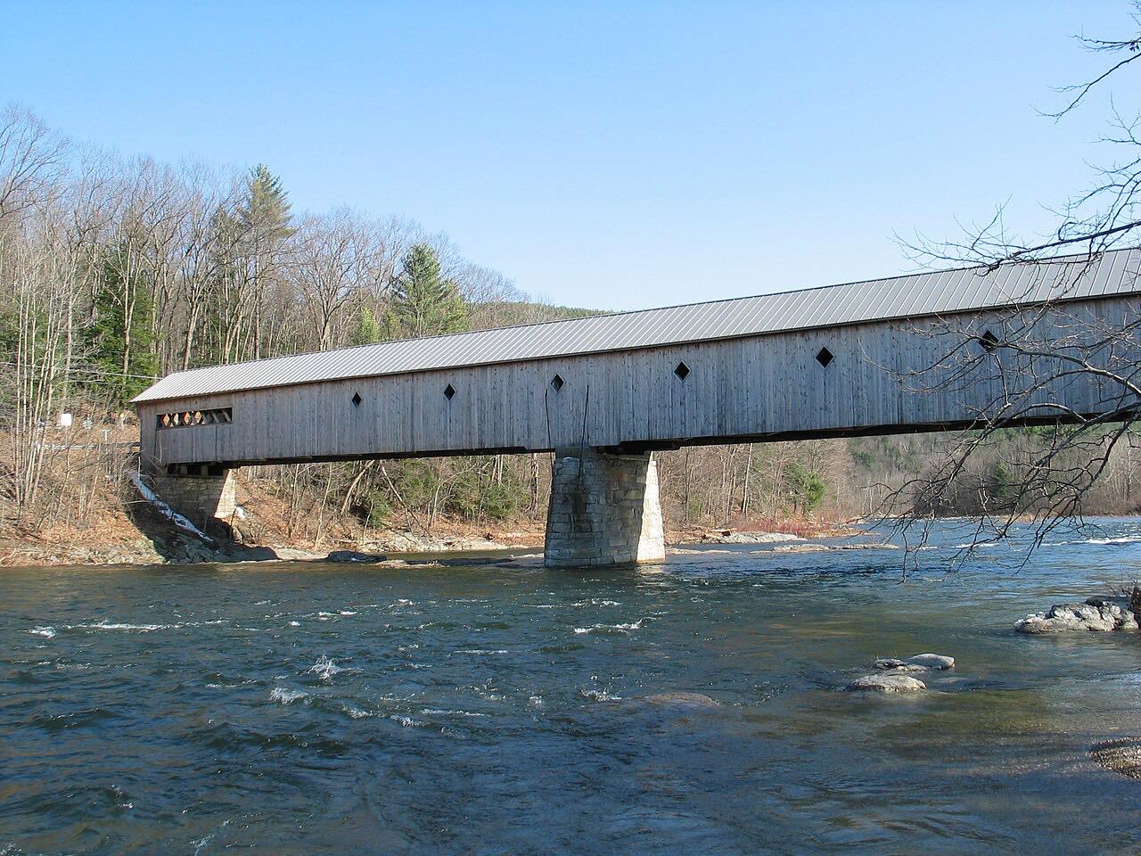
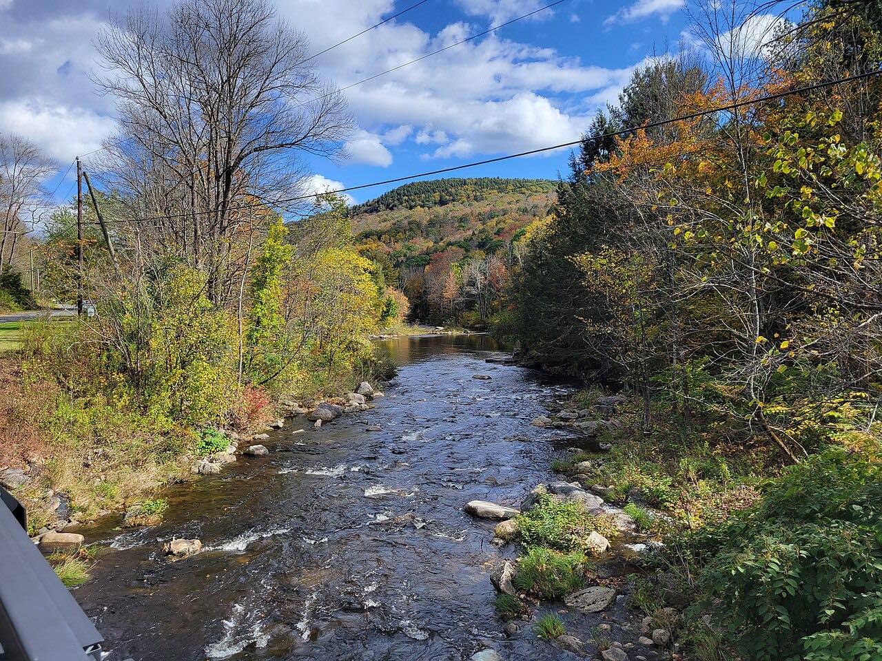
The road parallels the Deerfield River for several miles and passes through Charlemont and a large part of Mohawk Trail State Forest. At 2,272 feet, Whitcomb Summit is the trail's high point. On the western side is a popular hairpin turn and lookout over North Adams and the Taconic Mountains.
The drive is 33.6 miles and takes about 50 minutes. It climbs 3,500 feet in all, with mostly gentle curves.
Along the way
- Greenfield
- Charlemont
- Hairpin Turn
- North Adams
Good to know
- Heading west, the road climbs steeply up the Cold River valley on the eastern side of Whitcomb Summit, where Dead Man's Curve is a notable feature.
- The Hairpin Turn and its lookout are on the western side, as the road drops toward North Adams.
- Check Mass511 for current closures.
Open all year, weather permitting. Roads close for snow, fire, storms and repairs: before you set off, check MassDOT Mass511.
Questions about this drive
How long does the Mohawk Trail from Greenfield to North Adams take?
Route 2 from Greenfield to North Adams is 33.6 miles and takes about 50 minutes.
What is the high point of the Mohawk Trail?
Whitcomb Summit, at 2,272 feet, is the trail's high point.
Where is the Hairpin Turn on the Mohawk Trail?
It is on the western side of Whitcomb Summit, with a lookout over North Adams and the Taconic Mountains.
What you get in the app
Free on iPhone and Android. CarPlay and Android Auto come with Apex.
More drives near here



Distance, time, elevation, curves and intensity are from Carve's route. Checked 2026-10-28.