
Drives Massachusetts The Berkshires and Western Massachusetts
Route 143: Worthington to Williamsburg
MA 143, Williamsburg Road, MA 9 · Worthington → Williamsburg

The drive
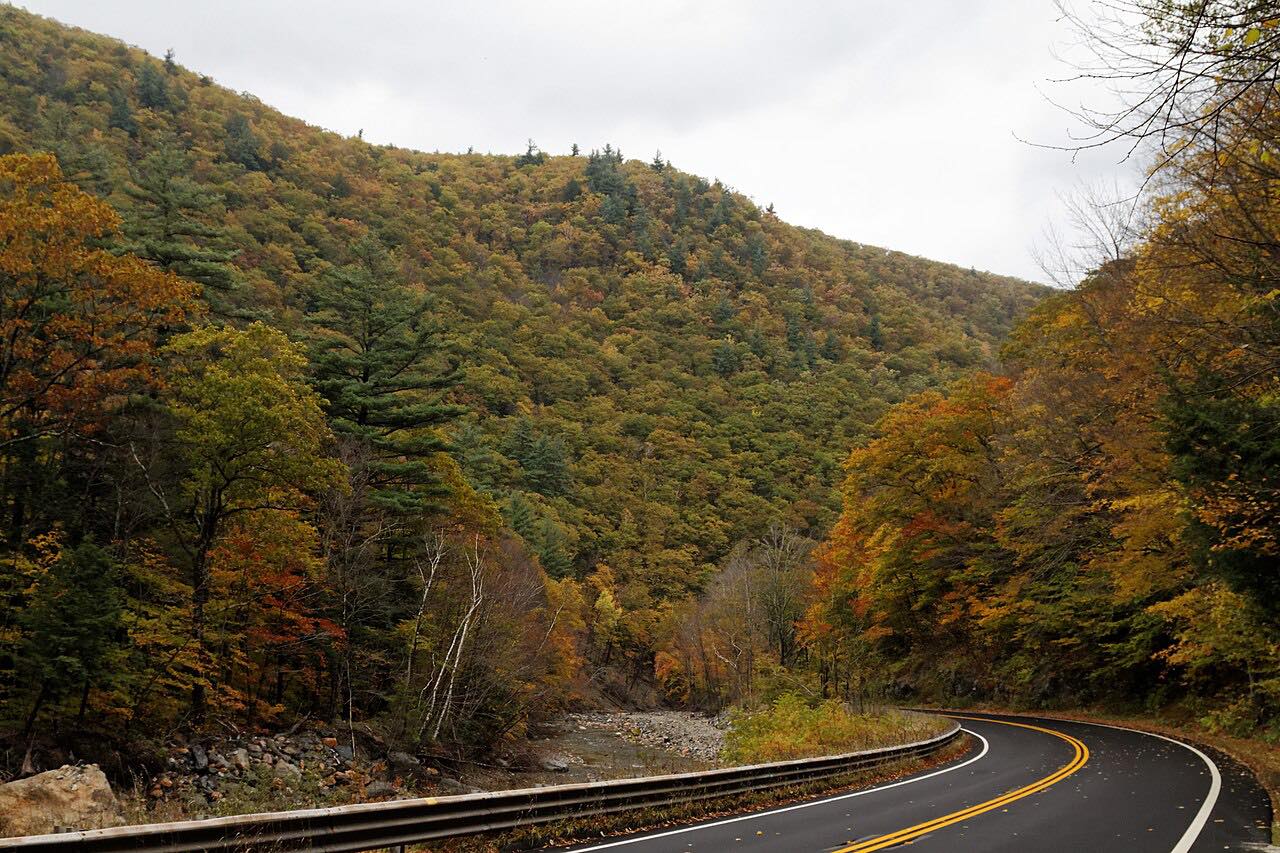
Route 143 runs 12.1 miles east from Worthington to Williamsburg through the Hampshire hill towns. It shares Route 112 for the first miles, then descends the valley of the West Falls Branch past Chesterfield and the Westfield River. The drive takes about 19 minutes, with 951 feet of climb from a high point of 1,486 feet.
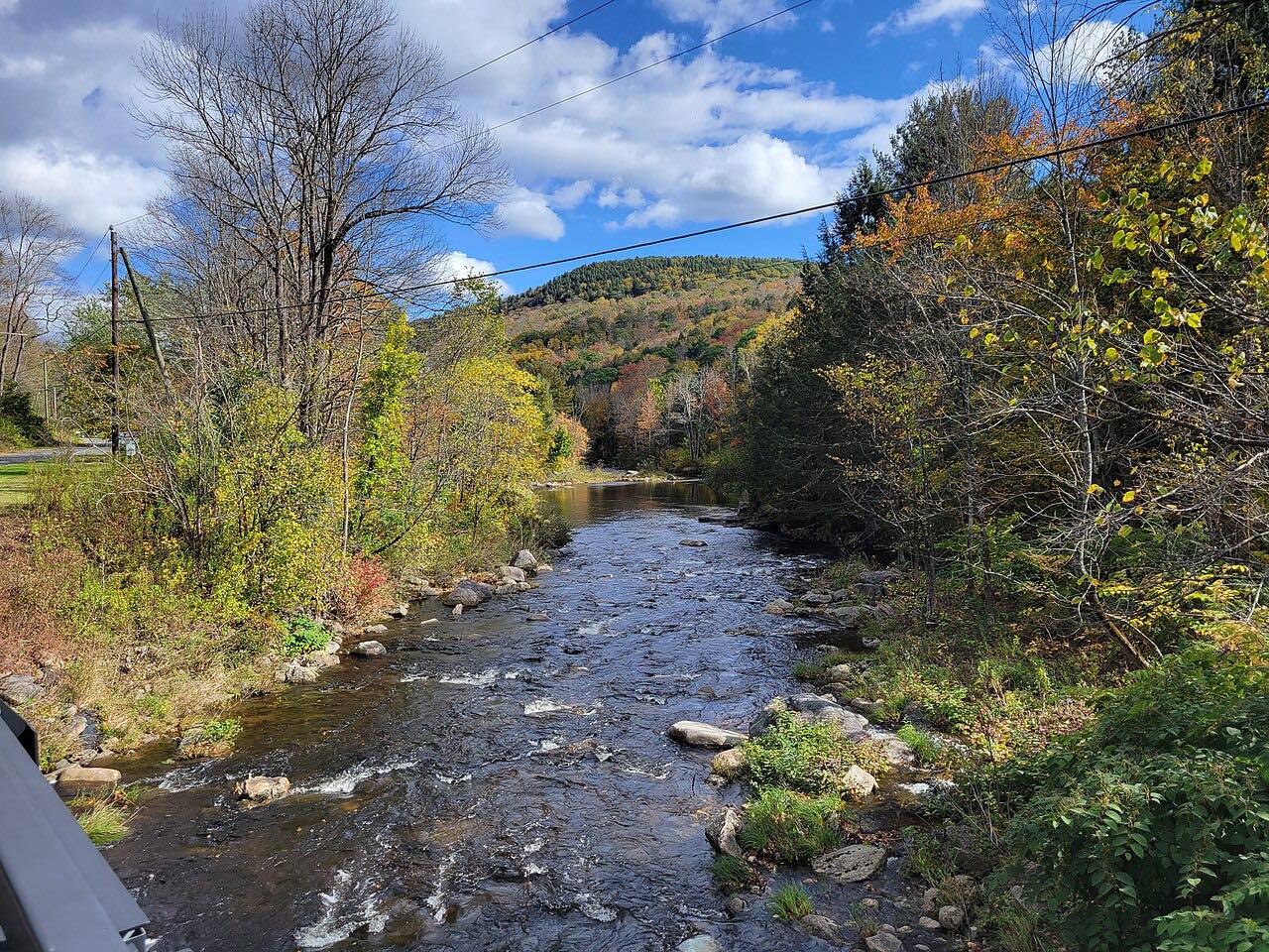
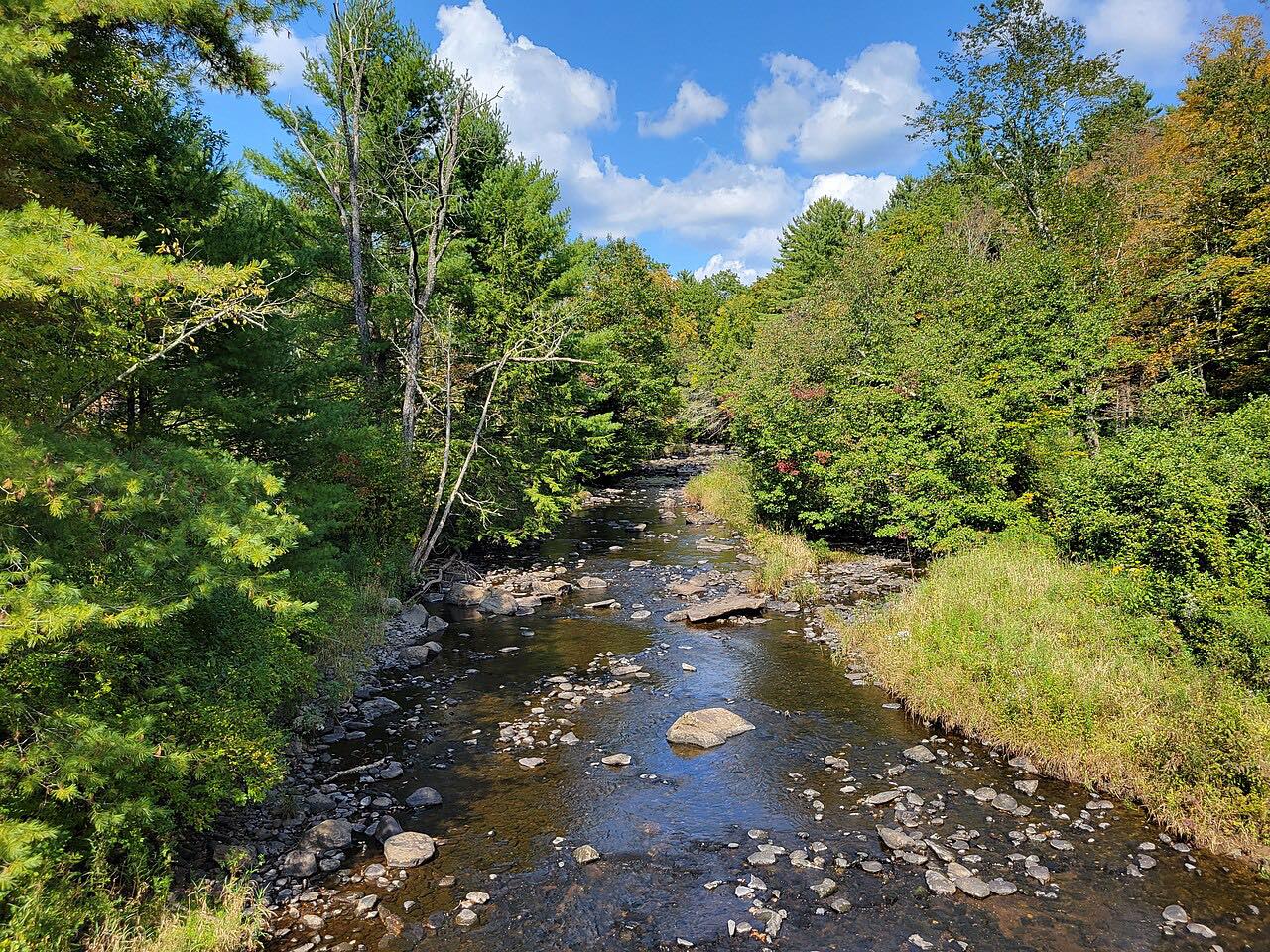
Near Chesterfield, Ireland Street leads off to Chesterfield Gorge, a rock canyon with walls about seventy feet high run by The Trustees of Reservations. Admission is free, the site is open from sunrise to sunset, and the lot is not plowed in winter. The East Branch of the Westfield River here has 78 miles designated as a National Wild and Scenic River.
The route ends just past the Route 9 junction in Williamsburg, where the village center is a short turn away.
Along the way
- Worthington (MA 112)
- Williamsburg (MA 9)
Good to know
- Chesterfield Gorge is open sunrise to sunset, and its lot is not plowed in winter.
- Hill-town bends and farm roads mean a slower pace than the map suggests.
- The first miles share Route 112, so watch for the split at Worthington Corners.
Open all year, weather permitting. Roads close for snow, fire, storms and repairs: before you set off, check Mass511 traveler information.
Questions about this drive
How long does Route 143 from Worthington to Williamsburg take?
The drive is 12.1 miles and takes about 19 minutes.
Is there a fee at Chesterfield Gorge?
No. Admission to the Trustees of Reservations site is free.
Where does Route 143 end?
This drive ends just past the Route 9 junction in Williamsburg.
What you get in the app
Free on iPhone and Android. CarPlay and Android Auto come with Apex.
More drives near here


Distance, time, elevation, curves and intensity are from Carve's route. Checked 2026-10-28.