Drives Utah Salt Lake and the Wasatch
Wolf Creek Pass: Highway 35
UT 35, West Main Village Way · Francis → Hanna

The drive
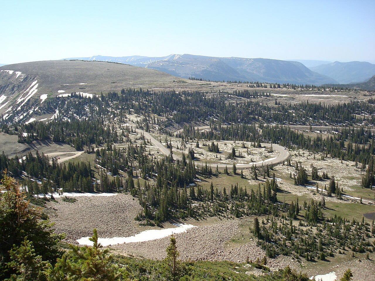
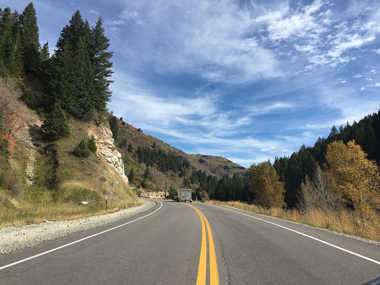
SR 35 leaves Francis on SR 32 and heads east through Woodland, climbing into the Uinta country over Wolf Creek Pass. The road bends through aspen and pine, tops 9,000 feet, and drops to Hanna. It is a favorite with riders from the Wasatch Front.
The drive is 35.4 miles and about 48 minutes, with more than 3,200 feet of climb. SR 35 continues past Hanna to Duchesne, but this drive ends there.
The pass is a seasonal road. UDOT's rules close the stretch over the pass in fall when snow depth requires it, and it stays closed until spring. In winter Utah State Parks grooms the road for snowmobiles.
Along the way
- Francis (SR-32)
- Hanna
Good to know
- The section from about mile 12 to mile 27 is closed by snow in winter, usually from about November until late spring, so the whole drive is unreachable then.
- Expect riders from the Wasatch Front on summer weekends.
- SR 35 continues past Hanna to Duchesne, but this drive ends at Hanna.
- Check UDOT Traffic for the current status before you go in fall or spring.
Closed by snow between Woodland and Wolf Creek Pass in winter, typically from about November to late May. Roads close for snow, fire, storms and repairs: before you set off, check UDOT Traffic.
Questions about this drive
Is Wolf Creek Pass on Highway 35 open in winter?
No. SR 35 over Wolf Creek Pass is closed by snow in winter between Woodland and the summit, and it reopens in spring.
How long does Wolf Creek Pass take to drive?
Wolf Creek Pass on SR 35 from Francis to Hanna is 35.4 miles and takes about 48 minutes.
Where does Highway 35 go over Wolf Creek Pass?
This drive starts in Francis, passes through Woodland, climbs over Wolf Creek Pass above 9,000 feet, and ends at Hanna.
What you get in the app
Free on iPhone and Android. CarPlay and Android Auto come with Apex.
More drives near here


Distance, time, elevation, curves and intensity are from Carve's route. Checked 2026-10-28.