
Drives California The Mojave and Death Valley
Daylight Pass: Beatty to Death Valley
North Highway, Death Valley Scenic Byway · Beatty → Highway 190 near Hell's Gate

The drive
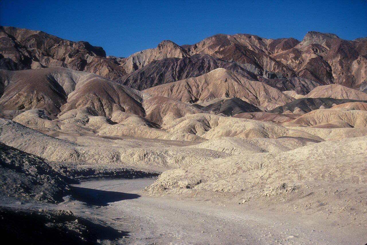
This drive leaves Beatty, Nevada, on Main Street and follows Nevada Route 374 west over Daylight Pass, about 4,300 feet, into Death Valley National Park. Rhyolite, a ghost town, lies just outside the park near Beatty. Past the pass, the road makes a long descent with wide views of the basin below.
Hells Gate is the junction with the Beatty Cutoff Road, and the drive finishes a little beyond it, on Highway 190. It is a Leisurely road of mostly gentle curves, and one of the paved ways into the park from the east: the park lists SR 374 from Beatty as an entrance, along with CA 190, CA 178 and SR 267.
Along the way
- Beatty (Main Street)
- Highway 190 near Hell's Gate
Good to know
- Beatty is the last full-service town; the closest rapid EV chargers are there, 43 miles from Furnace Creek, and gas inside the park is sold at Furnace Creek, Stovepipe Wells and Panamint Springs.
- There is no cell phone service along most park roads.
- The park entrance fee applies; passes are sold online and at the Furnace Creek Visitor Center.
- Flash floods have closed Daylight Pass Road and the nearby Beatty Cutoff in the past.
Open all year, weather permitting. Roads close for snow, fire, storms and repairs: before you set off, check Death Valley National Park: road conditions.
Questions about this drive
How long does Daylight Pass from Beatty take?
Beatty to Highway 190 near Hells Gate is 27.6 miles and takes about 35 minutes.
How high is Daylight Pass?
Daylight Pass is about 4,300 feet. Road guides give 4,316 or 4,317 feet.
Is there a fee to enter Death Valley from Beatty?
Yes. The park entrance fee applies on SR 374 too. Passes are sold online at Recreation.gov and in person at the Furnace Creek Visitor Center and the Stovepipe Wells Ranger Station.
Is Daylight Pass Road closed in floods?
It has been. Flash floods closed Daylight Pass Road and the Beatty Cutoff in August 2022, so check the park's road conditions page before a trip after heavy rain.
What you get in the app
Free on iPhone and Android. CarPlay and Android Auto come with Apex.
More drives near here



Distance, time, elevation, curves and intensity are from Carve's route. Checked 2026-10-28.