
Drives California The Mojave and Death Valley
Badwater Road
Badwater Road · Furnace Creek → Badwater Basin

The drive
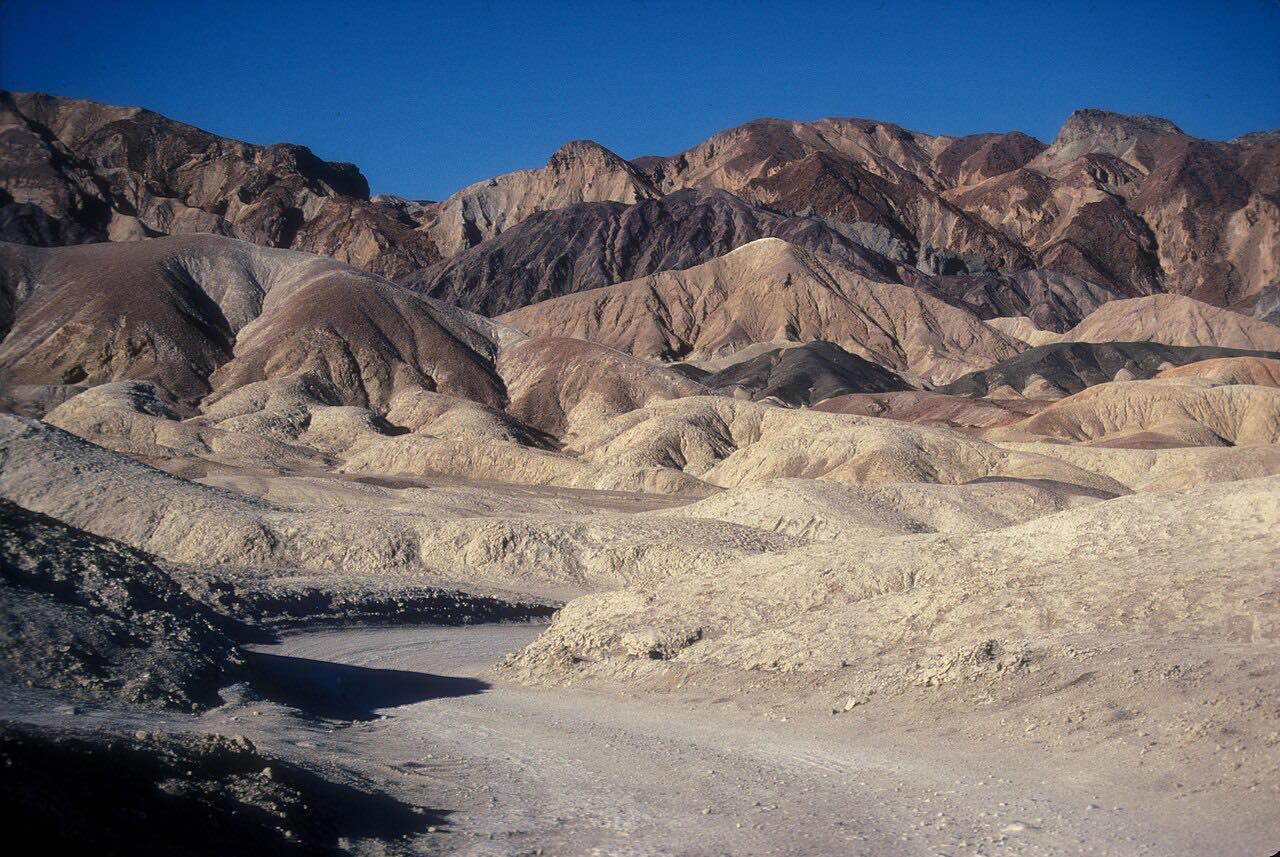
Badwater Road runs south from Furnace Creek along the floor of Death Valley, 16 miles over salt flats and alluvial fans with the Black Mountains close on the left and the Panamint Range across the valley. The drive passes the turnoffs for Artists Drive and Devil's Golf Course and ends at the Badwater Basin parking area, 282 feet below sea level, the lowest point in North America.
At the basin a short paved ramp leads to a boardwalk, and a hard-packed path runs a quarter mile out onto the salt flat to the salt polygons the valley is known for. The basin sits in the afternoon shadow of Telescope Peak, which rises 11,049 feet. The park suggests Devil's Golf Course, Badwater and Artists Drive together as a loop of about an hour and a half round trip.
Along the way
- Furnace Creek (Highway 190)
- Badwater Basin
Good to know
- In summer the park advises staying in your air-conditioned vehicle and limiting time outside to about 15 minutes at Badwater; carry extra drinking water.
- There is no cell phone service along most park roads, and tow help can be hours away.
- The park entrance fee applies; it is paid by card or online and no reservation is needed.
- Gas is sold at Furnace Creek, the nearest fuel to the start.
- Flash floods have closed Badwater Road before, so check conditions after rain.
Open all year, weather permitting. Roads close for snow, fire, storms and repairs: before you set off, check Death Valley National Park: road conditions.
Questions about this drive
How long does Badwater Road take to drive?
Badwater Road from Furnace Creek to Badwater Basin is 16.2 miles and takes about 35 minutes one way. The park puts a loop with Devil's Golf Course and Artists Drive at about an hour and a half.
How far below sea level is Badwater?
Badwater Basin is 282 feet below sea level, the lowest point in North America. Badwater Road is the paved road to it from Furnace Creek.
Is Badwater Road twisty?
No. It is a Leisurely drive of mostly gentle curves across the valley floor, here for the setting and not the bends.
Is it safe to drive Badwater Road in summer?
The park says nightly lows can stay above 100 degrees F in summer, and advises staying on paved roads, carrying extra water and keeping time outside the car short at Badwater.
What you get in the app
Free on iPhone and Android. CarPlay and Android Auto come with Apex.
More drives near here




Distance, time, elevation, curves and intensity are from Carve's route. Checked 2026-10-28.