
Drives Utah Salt Lake and the Wasatch
Emigration Canyon and SR-65
Emigration Canyon Road, SR 65 · Emigration Canyon → Jeremy Ranch

The drive
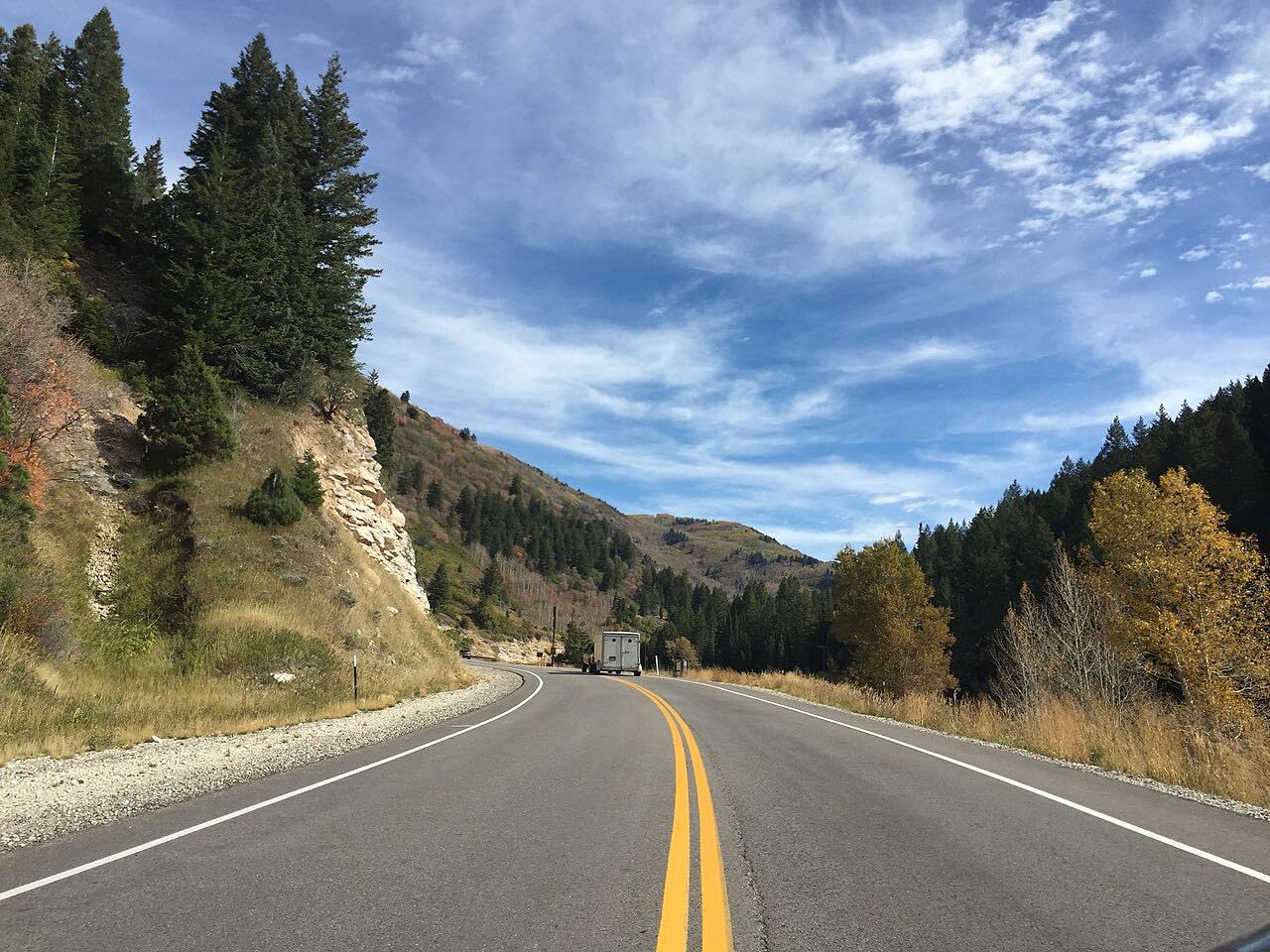
Emigration Canyon Road starts at the mouth of Emigration Canyon on the east side of Salt Lake City and climbs through a tight canyon, then over the ridge on SR 65. The route follows the historic Mormon Trail, which the state designated as SR 65 in 1931. The road ends at Jeremy Ranch near I-80.
It starts with canyon bends, then becomes a long climb and descent with steady curves. It gains about 3,000 feet and reaches 7,428 feet. Roads within This Is The Place Monument, near the west end, were added to the route for state maintenance in 1947.
The drive is 19.1 miles and about 41 minutes. It is a favorite with cyclists.
Along the way
- Emigration Canyon (mouth)
- Jeremy Ranch (SR-65)
Good to know
- Expect many cyclists on this road.
- Bad winter storms can close or slow the road; check UDOT Traffic.
- The canyon section is tight, with steady bends.
Open all year, weather permitting. Roads close for snow, fire, storms and repairs: before you set off, check UDOT Traffic.
Questions about this drive
How long does Emigration Canyon and SR 65 take to drive?
Emigration Canyon and SR 65 from the canyon mouth to Jeremy Ranch is 19.1 miles and takes about 41 minutes.
Is Emigration Canyon on the Mormon Trail?
Yes. SR 65 was designated in 1931 to follow the historic Mormon Trail as closely as practicable through Emigration Canyon.
Are there cyclists on Emigration Canyon Road?
Yes. Emigration Canyon and SR 65 are busy with cyclists, so drive carefully and pass with room.
What you get in the app
Free on iPhone and Android. CarPlay and Android Auto come with Apex.
More drives near here


Distance, time, elevation, curves and intensity are from Carve's route. Checked 2026-10-28.