Drives New Brunswick Nova Scotia, New Brunswick and Prince Edward Island
Route 127: St. Andrews to St. Stephen
Route 127, NB 170, Bayview Drive · St. Andrews → St. Stephen

The drive
This is a quiet shore road along Passamaquoddy Bay and the St. Croix River in southwestern New Brunswick. It leaves St. Andrews on Route 127, the main route into the town, which is signed Bayview Drive and Mowat Drive in town, and follows the water toward Waweig. There Route 170 branches west to St. Stephen.
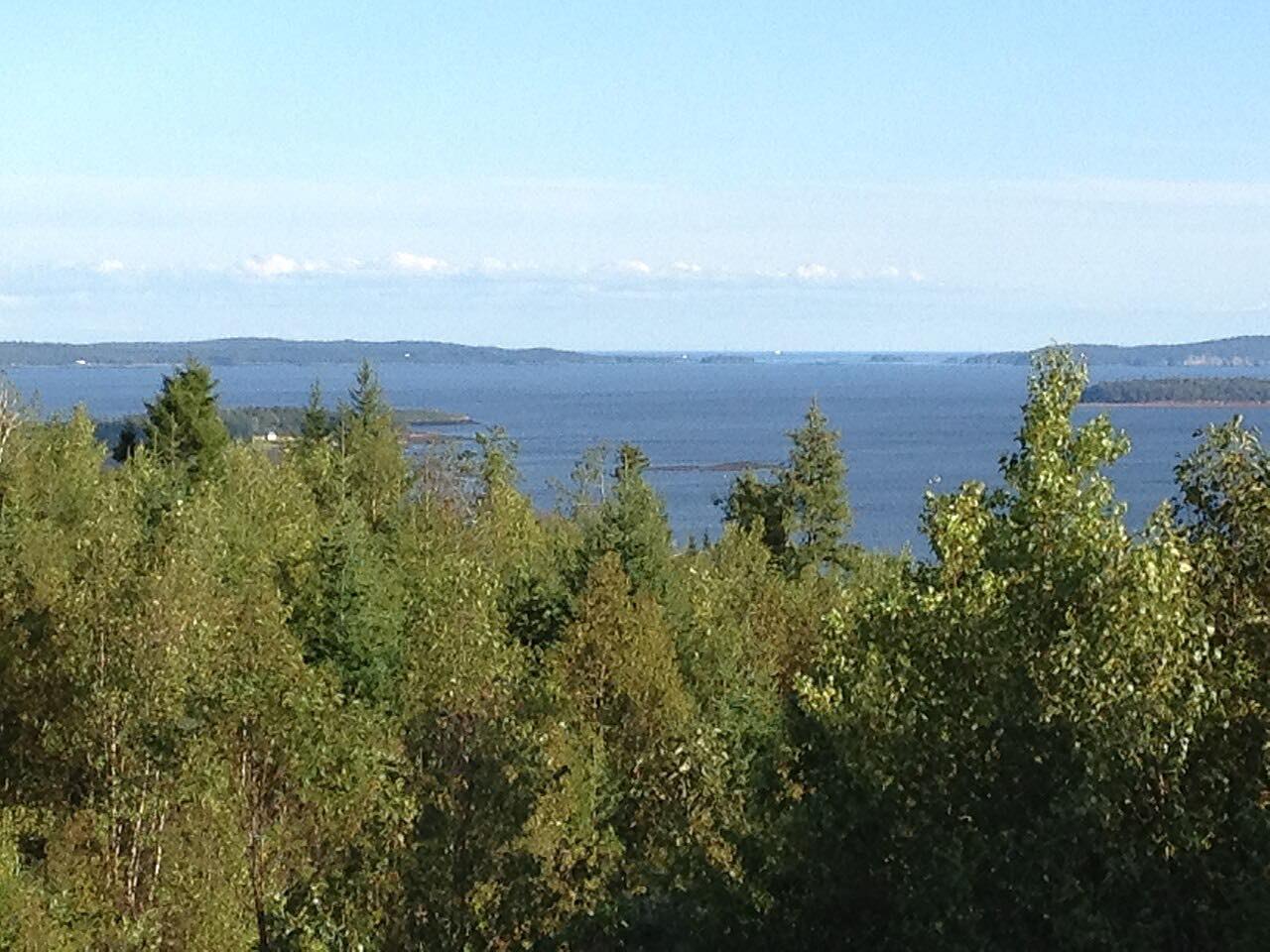
Route 127 runs along the Canada and United States border, with views over the bay and river from higher ground in places. It is a two-lane road through small communities and farmland rather than a twisty drive, and the case for it is the shoreline.
St. Stephen is a border city; Route 170 continues west to the U.S. border at Calais, Maine, and the drive here ends in St. Stephen.
Along the way
- St. Andrews
- St. Stephen
Good to know
- Route 170 continues to a border crossing at Calais, Maine; carry the right identification if you plan to cross.
- The roads are ordinary two-lane roads with little shoulder in places, so watch for cyclists and local traffic.
Open all year, weather permitting. Roads close for snow, fire, storms and repairs: before you set off, check New Brunswick 511.
Questions about this drive
How long is the drive from St. Andrews to St. Stephen?
The Route 127 and Route 170 drive from St. Andrews to St. Stephen is 19.7 miles and takes about 31 minutes.
Which roads connect St. Andrews and St. Stephen?
Route 127 runs from St. Andrews to Waweig, where Route 170 continues west to St. Stephen.
Is the Route 127 drive twisty?
Not especially. Route 127 is a gentle shoreline and farm road, and the appeal is the water views.
What you get in the app
Free on iPhone and Android. CarPlay and Android Auto come with Apex.
More drives near here


Distance, time, elevation, curves and intensity are from Carve's route. Checked 2026-10-28.