
Drives Nova Scotia Nova Scotia, New Brunswick and Prince Edward Island
Route 217: Digby Neck
NS 217 · Digby → Freeport

The drive
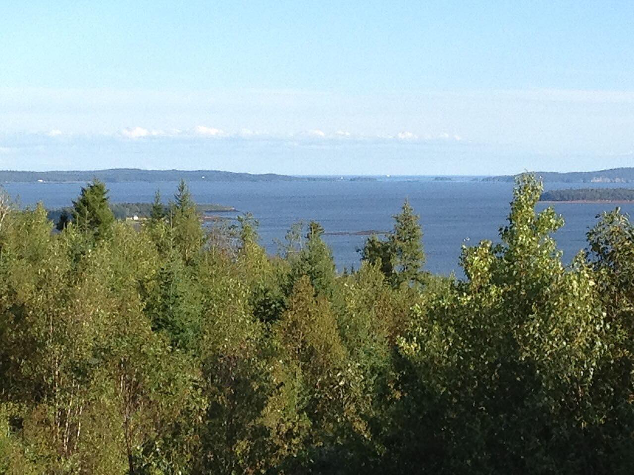
Route 217 runs down Digby Neck and along Long Island, a narrow peninsula between the Bay of Fundy and St. Marys Bay, with water on both sides. This drive starts in Digby and ends at Freeport, at the west end of Long Island.
Long Island is separated from Digby Neck by Petit Passage, so the drive includes a short ferry crossing between East Ferry and Tiverton. Route 217 continues along Long Island to Freeport, where another ferry crosses Grand Passage to Westport on Brier Island. The ferries run on a schedule and are not part of the road itself.
Brier Island is a well-known place for whale watching, with operators at East Ferry. Fin whales and minke whales are common in spring, and humpbacks in summer. The road is slow and winding, and fog is common.
Along the way
- Digby
- Freeport
Good to know
- Both ferries run on set schedules, and the timetable can change by season; check before you start so you do not get stuck at a landing.
- Most whale watching tours and seasonal businesses operate from spring through autumn.
- Fog is common on the peninsula, and the road is narrow and winding, so allow extra time.
Open all year, weather permitting. Roads close for snow, fire, storms and repairs: before you set off, check Nova Scotia 511.
Questions about this drive
How long is Route 217 from Digby to Freeport?
Route 217 from Digby to Freeport is 41 miles and takes about 1 hr 41 min, not counting waiting for the ferry at Petit Passage.
Is there a ferry on Digby Neck?
Yes. Reaching Long Island from Digby Neck means a short ferry across Petit Passage, and another ferry from Freeport crosses to Brier Island. Check the schedules.
When can you see whales near Digby Neck?
Spring brings fin whales, minke whales and porpoises, and summer brings humpback whales and dolphins, according to local guides.
What you get in the app
Free on iPhone and Android. CarPlay and Android Auto come with Apex.
More drives near here



Distance, time, elevation, curves and intensity are from Carve's route. Checked 2026-10-28.