
Drives Texas Big Bend and West Texas
FM 170: Study Butte to Lajitas
FM 170 · Study Butte → Lajitas

The drive
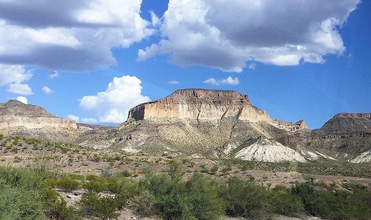
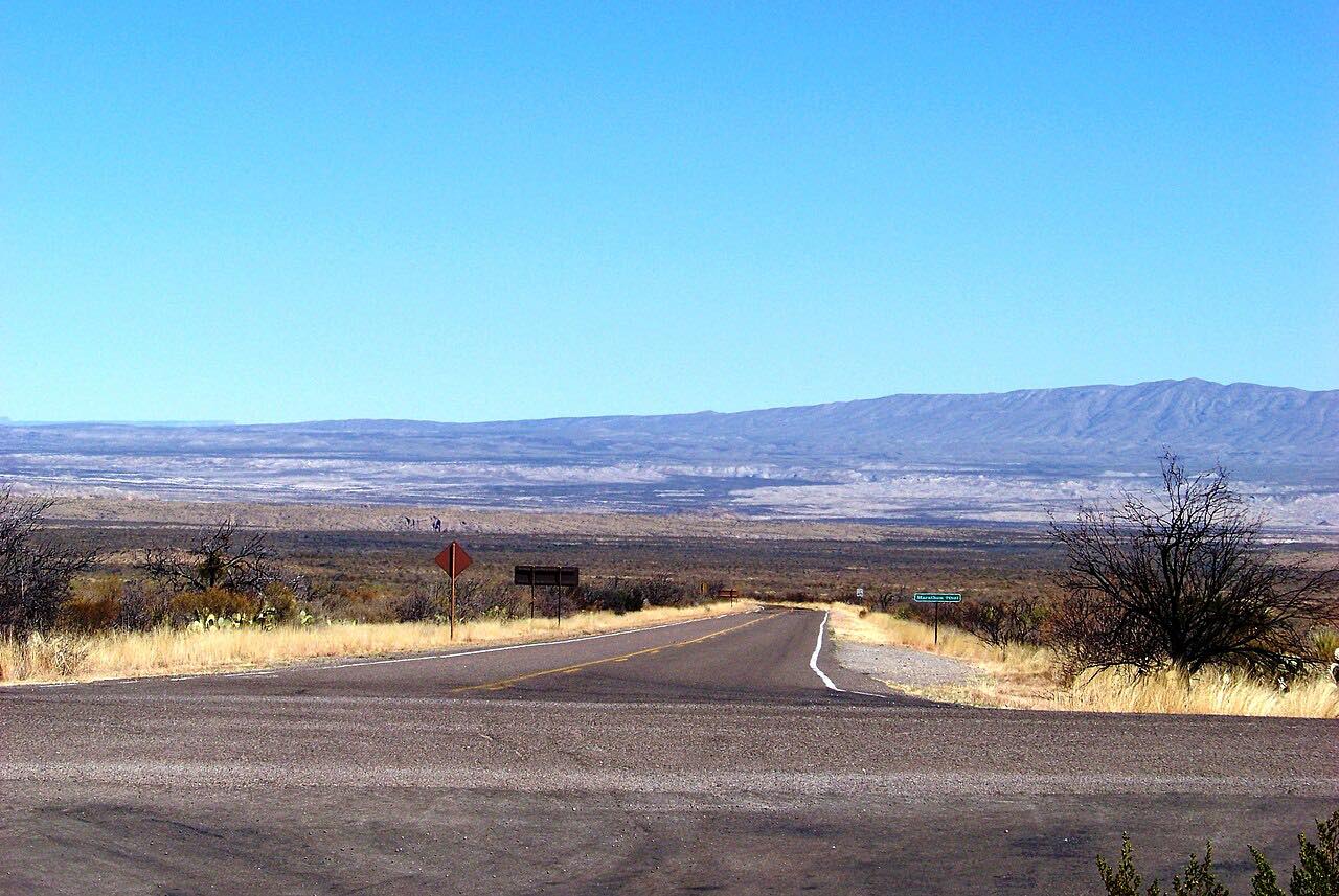
This is the eastern end of FM 170, known locally as the River Road, running west from Study Butte at Highway 118 to Lajitas. Study Butte is about 3 miles from the Big Bend National Park entrance. The road passes near Terlingua, a former mining community now known as a ghost town, and ends at Lajitas, on the Rio Grande. It is 17.0 miles and takes about 25 minutes.
At Lajitas the road permanently turns away from the Rio Grande, and the Barton Warnock Environmental Education Center sits just east of town. The River Road continues west beyond Lajitas as a separate drive, so this short stretch pairs well with it.
Along the way
- Study Butte (Highway 118)
- Lajitas
Good to know
- Watch for livestock near the road in this ranch country.
- Study Butte is about 3 miles from the Big Bend National Park entrance.
Open all year, weather permitting. Roads close for snow, fire, storms and repairs: before you set off, check TxDOT DriveTexas road conditions.
Questions about this drive
How long is FM 170 from Study Butte to Lajitas?
FM 170 from Study Butte to Lajitas is 17.0 miles and takes about 25 minutes.
What is the River Road in Texas?
FM 170 is known locally as the River Road. It runs about 114.6 miles along the Rio Grande through Presidio and Brewster counties.
Does FM 170 go through Terlingua?
Yes. The road passes near the ghost town of Terlingua between Study Butte and Lajitas.
What you get in the app
Free on iPhone and Android. CarPlay and Android Auto come with Apex.
More drives near here



Distance, time, elevation, curves and intensity are from Carve's route. Checked 2026-10-28.