
Drives Arizona Tucson and Southern Arizona
Swift Trail: Mount Graham
Swift Trail · US-191 junction → Shannon Campground

The drive
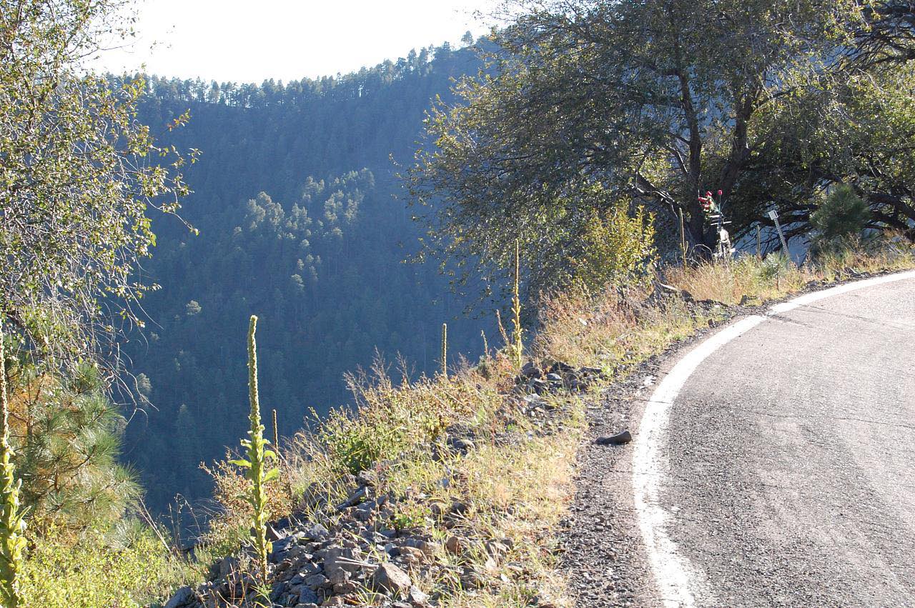
The Swift Trail is AZ 366, climbing from the desert south of Safford up Mount Graham in more than 20 miles of switchbacks. You rise from cactus through oak to pine and fir, ending where the pavement stops near Shannon Campground.
It's steep and winding the whole way, with the sharpest bends in the upper half. Past the end of the pavement a gravel road continues, which closes in winter.
Along the way
- US-191 junction
- Shannon Campground
Good to know
- ADOT closes the road past Shannon Campground in winter; last year the closure date was November 15.
- The road is steep and narrow; allow extra time.
- Lower parts can close for snow as needed.
Open all year, weather permitting. Roads close for snow, fire, storms and repairs: before you set off, check Arizona 511 (ADOT).
Questions about this drive
How long does the Swift Trail take?
The Swift Trail from US 191 to Shannon Campground is 21.2 miles and takes about 50 minutes.
Is the Swift Trail open in winter?
The highest section, half a mile past Shannon Campground, closes for the winter, and lower parts can close for snow.
How twisty is the Swift Trail?
Intense. Most of the 21 miles is switchbacks.
What you get in the app
Free on iPhone and Android. CarPlay and Android Auto come with Apex.
More drives near here


Distance, time, elevation, curves and intensity are from Carve's route. Checked 2026-10-28.