
Drives New Mexico Southern New Mexico
Highway 159: Alma to Mogollon
NM 159, Bursum Road · Alma → Mogollon

The drive
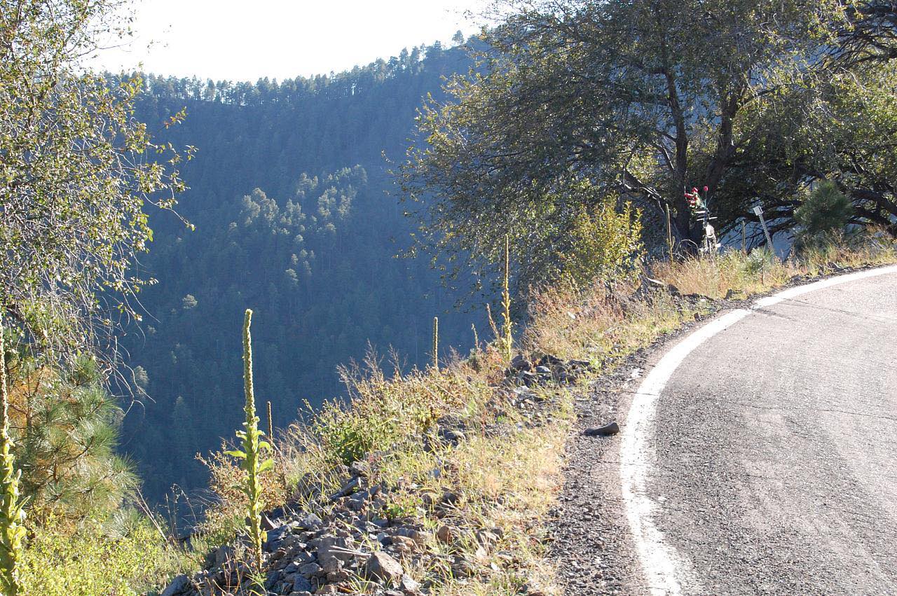
Highway 159 climbs about nine miles from US 180 near Alma to Mogollon in steep, tight bends. This is a narrow mountain road, a short drive that takes longer than the miles suggest. It rises into the Mogollon Mountains in the Gila National Forest and ends in the old mining town.
Mogollon was a gold and silver camp. Prospectors found gold in the 1870s, and the town grew around the Little Fannie mine until it held an estimated 3,000 to 6,000 miners in the 1890s. Mining slowed after the mill closed in 1942. Today the old wooden and adobe buildings are a National Register historic district with a handful of year-round residents, and some shops, a gallery and a mining museum open on weekends in the warmer part of the year.
The drive stops in Mogollon. Past the town the highway continues east as Bursum Road, an unpaved single-lane road that closes in winter, and that stretch is not part of this drive.
Along the way
- Alma (US-180)
- Mogollon
Good to know
- The Forest Service posts a permanent alert of steep grades and numerous tight turns on this road, with trucks over 45 feet and those without a retarder brake prohibited.
- One travel source calls the road not recommended for RVs or trailers; the Forest Service warning is about long trucks and tight turns.
- Pavement ends east of Mogollon; the paved drive finishes in town.
- Many Mogollon businesses open Friday through Sunday, May through October. Confirm before going.
Open all year, weather permitting. Roads close for snow, fire, storms and repairs: before you set off, check Gila National Forest: Current Conditions.
Questions about this drive
How long does Highway 159 from Alma to Mogollon take?
Highway 159 from Alma to Mogollon is 9.3 miles and takes about 30 minutes because of the steep grades and tight turns.
Is the road to Mogollon, New Mexico paved?
Highway 159 is paved from US 180 near Alma to Mogollon. Beyond Mogollon it becomes the unpaved Bursum Road.
Can RVs drive Highway 159 to Mogollon?
The road is steep and narrow with tight turns, and trucks over 45 feet or without a retarder brake are prohibited. One travel source advises against RVs and trailers.
Is Mogollon a ghost town you can visit?
Yes. Mogollon is a former mining town with a few residents, and a gallery, museum, cafe and shops open on weekends from May through October.
What you get in the app
Free on iPhone and Android. CarPlay and Android Auto come with Apex.
More drives near here


Distance, time, elevation, curves and intensity are from Carve's route. Checked 2026-10-28.