Drives New York The Finger Lakes and Western New York
Highway 41A: Skaneateles Lake
NY 41A, West Lake Road · Skaneateles → Highway 41

The drive
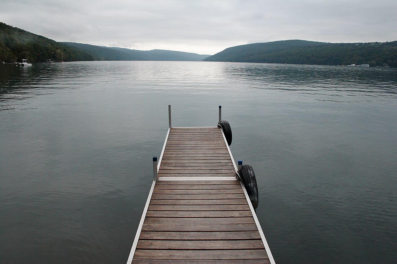
Highway 41A runs south from the village of Skaneateles. It leaves on Kane Avenue, becomes West Lake Road, and follows the west shore of Skaneateles Lake past Mandana, where Highway 359 ends.
The road crosses into Cayuga County and leaves the water for rural, wooded hills. It passes the hamlets of New Hope and Sempronius, then Lake Como, and ends at Highway 41 near Homer.
The lake comes first, and the second half is quiet farm and woodland country. Curves are gentle throughout.
Along the way
- Skaneateles
- Highway 41 (Homer)
Good to know
- West Lake Road is lined with houses and has a lower pace.
- The inland half is rural.
Open all year, weather permitting. Roads close for snow, fire, storms and repairs: before you set off, check 511NY traffic and travel information.
Questions about this drive
How long is Highway 41A from Skaneateles to Homer?
Highway 41A from Skaneateles to Highway 41 near Homer is 25.3 miles and takes about 30 minutes.
Does Highway 41A follow Skaneateles Lake?
Yes, for the northern part. It runs along the west shore as West Lake Road, then heads inland.
Is Highway 41A a scenic drive?
It is a quiet two-lane road with lake views at the start and rural, wooded hills after Mandana.
What you get in the app
Free on iPhone and Android. CarPlay and Android Auto come with Apex.
More drives near here


Distance, time, elevation, curves and intensity are from Carve's route. Checked 2026-10-28.