
Drives New York The Finger Lakes and Western New York
Highway 89: Cayuga Lake West Shore
NY 89 · Ithaca → US 20 near Seneca Falls

The drive
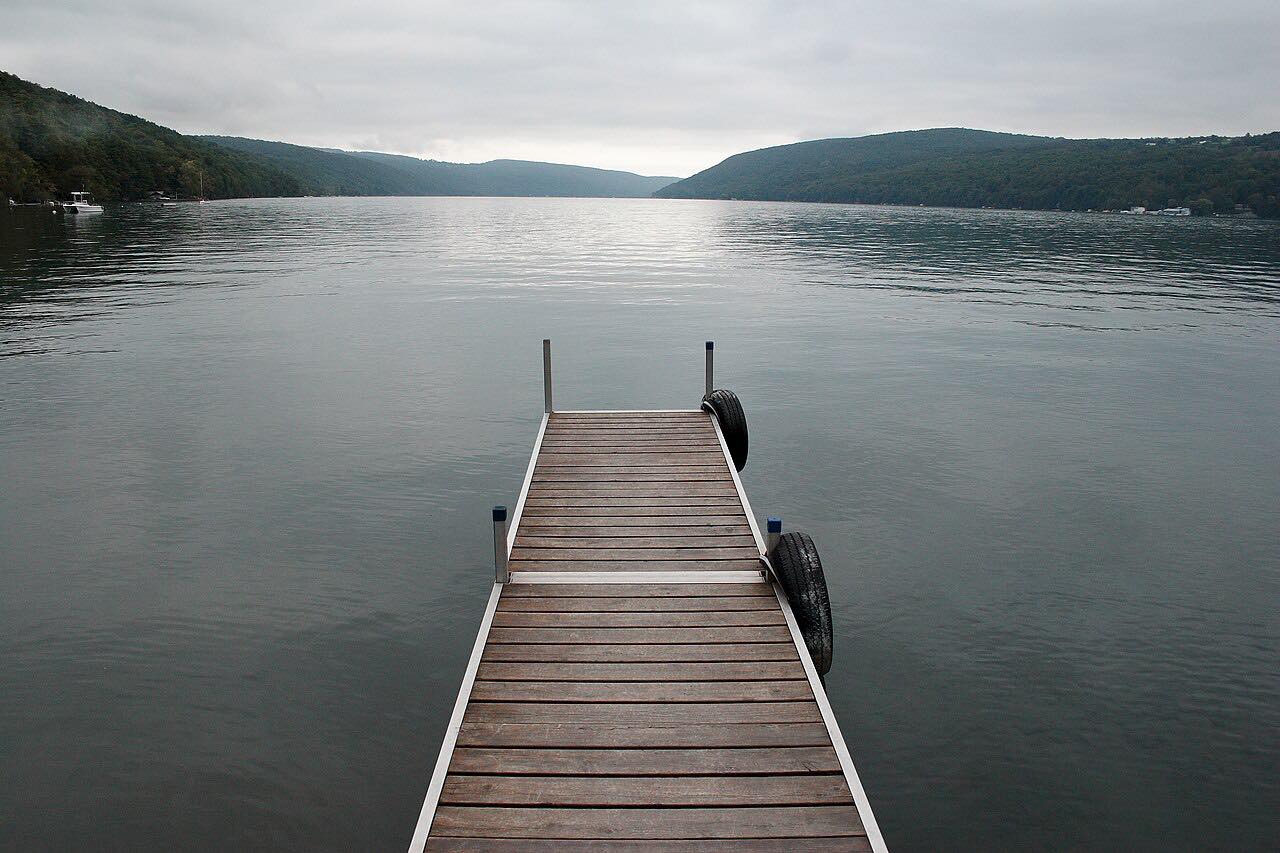
Highway 89 runs north from Ithaca along the west shore of Cayuga Lake. It starts in Ithaca's West End, turns onto Taughannock Boulevard, and leaves the city for a quiet, mostly forested shore. It is part of the Cayuga Lake Scenic Byway.
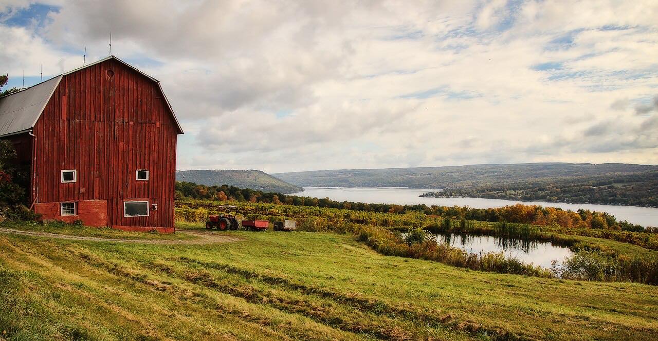
The best-known stop is Taughannock Falls State Park, where the creek drops 215 feet past cliffs that rise nearly 400 feet above the gorge. The upper entrance has the overlook and visitor center. Farther north the road leaves the lake for farmland, returns to the shore near Elm Beach, and passes Cayuga Lake State Park and the Montezuma marsh before ending at US 20 near Seneca Falls.
The curves are gentle and the grades easy, so this is a relaxed drive of about 50 minutes. The lake and the falls are the reason to take it.
Along the way
- Ithaca
- Taughannock Falls
- US 20 near Seneca Falls
Good to know
- Taughannock Falls State Park charges a per-vehicle fee if you stop; the fee is collected daily from sunup to sundown.
- The road is a two-lane state highway shared with local traffic.
Open all year, weather permitting. Roads close for snow, fire, storms and repairs: before you set off, check 511NY traffic and travel information.
Questions about this drive
How long is Highway 89 along Cayuga Lake?
Highway 89 from Ithaca to US 20 near Seneca Falls is 41.4 miles and takes about 50 minutes without stopping.
Is there a fee to see Taughannock Falls from Highway 89?
The drive itself is free, but Taughannock Falls State Park charges a per-vehicle use fee, collected daily from sunup to sundown.
Is Highway 89 twisty?
No. Highway 89 along the west shore of Cayuga Lake has mostly gentle curves and no tight stretches.
What is the Cayuga Lake Scenic Byway?
It is a state-designated loop through Ithaca, Seneca Falls and Union Springs, and Highway 89 on the west shore is part of it.
What you get in the app
Free on iPhone and Android. CarPlay and Android Auto come with Apex.
More drives near here



Distance, time, elevation, curves and intensity are from Carve's route. Checked 2026-10-28.