
Drives New York The Finger Lakes and Western New York
Highway 90: Aurora and Cayuga Lake
NY 90 · King Ferry → Cayuga

The drive
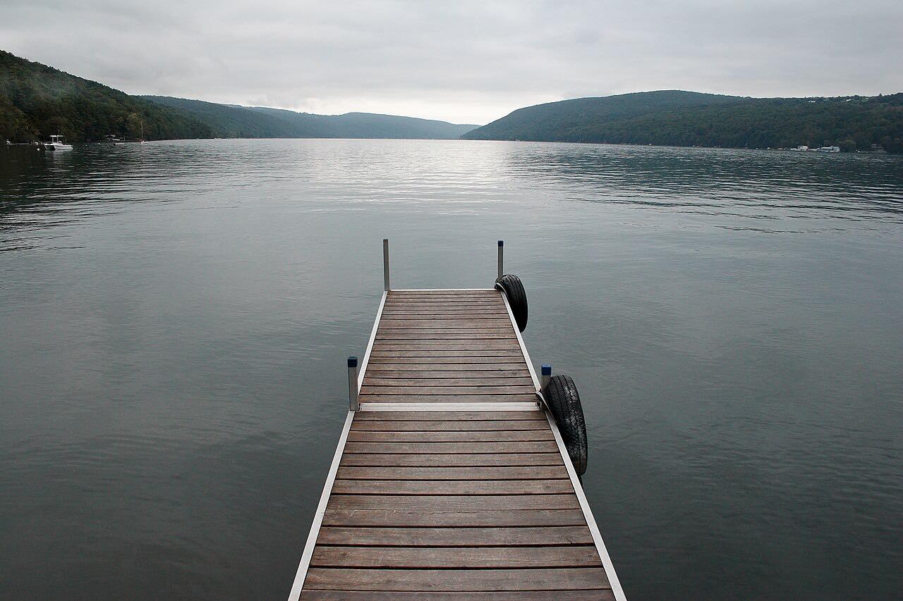
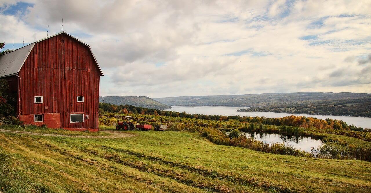
Highway 90 follows the east side of Cayuga Lake, from King Ferry north to the village of Cayuga and US 20. It runs through Genoa and Ledyard, passes just east of Long Point State Park, and then reaches the lake at Aurora.
In Aurora the road goes through the Wells College campus and becomes a two-lane residential street along the water, then Main Street through the village center. From there it follows the shore north through Levanna and Farleys to Union Springs, where it runs along South and North Cayuga Streets.
The curves are easy and the speeds low. It pairs with Highway 89 on the west shore for a trip around the lake, with Ithaca at the south end.
Along the way
- King Ferry
- Aurora
- Union Springs
- Cayuga (US 20)
Good to know
- Speeds drop through Aurora and Union Springs, where the road is a village street with parked cars and pedestrians.
- Check 511NY for current conditions.
Open all year, weather permitting. Roads close for snow, fire, storms and repairs: before you set off, check 511NY traffic and travel information.
Questions about this drive
How long is Highway 90 along Cayuga Lake?
Highway 90 from King Ferry to Cayuga at US 20 is 20.5 miles and takes about 30 minutes.
What towns does Highway 90 pass through?
Highway 90 goes through Aurora, past the Wells College campus, and through Union Springs before ending at the village of Cayuga.
Can you drive all the way around Cayuga Lake?
Yes. Highway 90 on the east shore and Highway 89 on the west shore are both part of a loop around the lake.
What you get in the app
Free on iPhone and Android. CarPlay and Android Auto come with Apex.
More drives near here



Distance, time, elevation, curves and intensity are from Carve's route. Checked 2026-10-28.