Drives Baja California, Mexico Sierra de Juárez, San Pedro Mártir and the Colorado Delta
Sierra San Pedro Mártir Road
Sierra San Pedro Mártir, Baja California · Mexico 1 → Park entrance

The drive
The road into the Sierra San Pedro Mártir leaves Mexico 1 at the San Telmo turnoff and climbs east for 73.5 km (46 mi) from desert foothills into pine forest. The drive takes about 2 hr 40 min, with roughly 9,400 feet of total climbing, topping out near 7,400 feet before the park entrance.
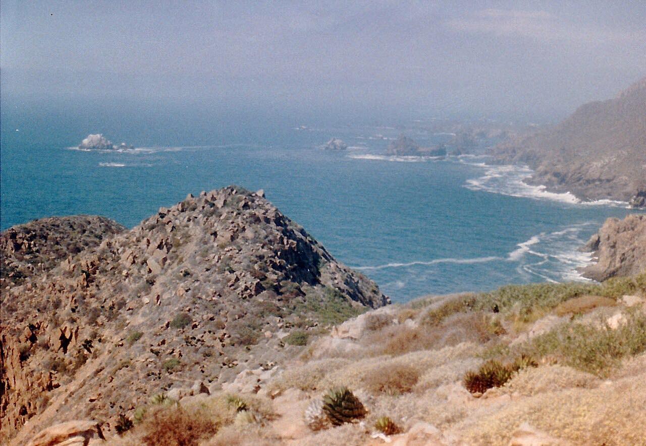
Pine forest sits high in these mountains like an island, with desert all around it. The road is narrow, mostly moderate bends with three tighter stretches, and little shoulder. The drive ends short of the park gate, but the road carries on to the National Astronomical Observatory, which sits near 9,280 feet.
There's no public transit up here. You get here by your own vehicle or on a tour from Ensenada, Tijuana or Mexicali.
Along the way
- Mexico 1 (San Telmo turnoff)
- Park entrance (before the gate)
Good to know
- The road is narrow with many bends and little shoulder, so large trailers are a poor idea.
- The national park charges an entry fee at the gate, and the observatory may close its visits without notice.
- It's cold at altitude in winter, and snow and ice can close the road temporarily.
- Park authorities advise dressing in layers; it is cold at altitude in winter.
Open all year, weather permitting. Roads close for snow, fire, storms and repairs: before you set off, check SICT (Mexico's federal roads agency).
Questions about this drive
How long is the Sierra San Pedro Mártir road?
The Sierra San Pedro Mártir road from the Mexico 1 turnoff to the park entrance is 73.5 km (46 mi) and takes about 2 hr 40 min.
Is the Sierra San Pedro Mártir road paved?
Yes. The road from Mexico 1 up to the park and the observatory is paved, but it is narrow and steep with many bends.
Is there a fee to enter Sierra San Pedro Mártir National Park?
Yes, the park charges an entry fee at the gate, which this drive stops just short of. Fees and hours change, so confirm them before you go.
Does the Sierra San Pedro Mártir road close in winter?
It can close temporarily for snow or ice, since the road climbs to around 7,400 feet and the park sees snow in winter.
What you get in the app
Free on iPhone and Android. CarPlay and Android Auto come with Apex.
More drives near here

Distance, time, elevation, curves and intensity are from Carve's route. Checked 2026-10-28.