Drives Baja California, Mexico Central Baja: Guerrero Negro, Mulegé and Loreto
Mexico 1: El Rosario to Cataviña
MEX 1 · El Rosario → Cataviña

The drive
This is Mexico 1 heading south into the middle of the peninsula. It leaves El Rosario, climbs out of town on winding grades, and then crosses into the Cataviña desert. The drive is 121.5 km (75 mi) and takes about 1 hr 55 min, with roughly 4,900 feet of total climbing and a high point near 2,300 feet.
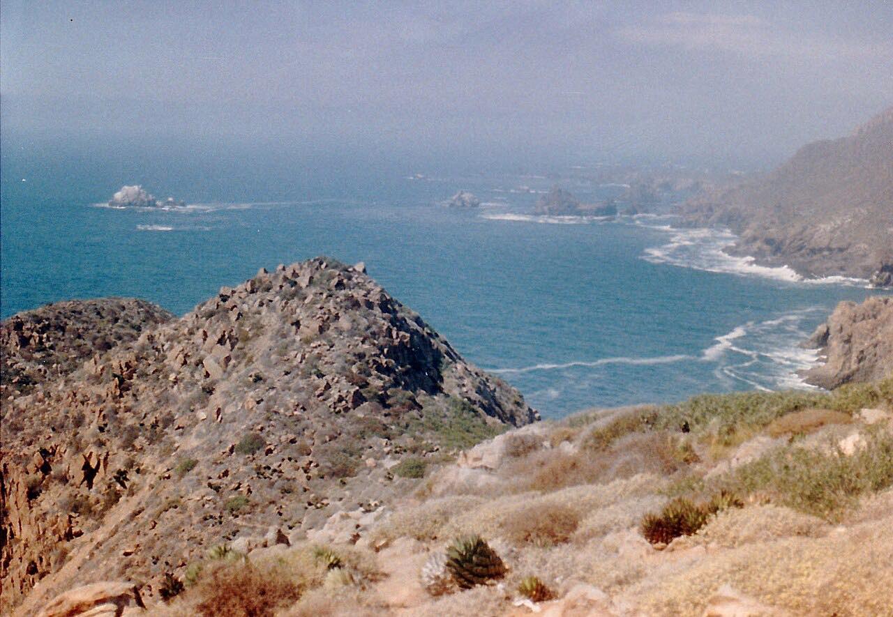
The first half is the curvier part. After that the road straightens out through a landscape of giant granite boulders and cirio trees, the tall, thin plants that give the Valle de los Cirios its name. Cataviña, at the end, is a small town at about 1,840 feet, known for its boulder fields.
It's a long way between places. There are few services, and the road crosses washes that can run after storms.
Along the way
- El Rosario (Mexico 1)
- Cataviña
Good to know
- Fuel is scarce: fill the tank in El Rosario rather than counting on fuel in Cataviña.
- The road crosses low-water washes (vados). A 2018 storm flooded two of them near Cataviña and fractured a stretch of the highway, so watch the weather.
- Drivers on the peninsula are advised to avoid night driving because of livestock and poor lighting.
Open all year, weather permitting. Roads close for snow, fire, storms and repairs: before you set off, check SICT (Mexico's federal roads agency).
Questions about this drive
How long does Mexico 1 from El Rosario to Cataviña take?
Mexico 1 from El Rosario to Cataviña is 121.5 km (75 mi) and takes about 1 hr 55 min without stops.
Is there gas between El Rosario and Cataviña?
Not reliably. Fuel in Cataviña can't be counted on, so travelers are advised to fill up in El Rosario before driving Mexico 1 south.
What is there to see near Cataviña?
Cataviña is known for fields of giant granite boulders mixed with desert plants, and some cave paintings are in the area. The Valle de los Cirios protected area, named for its cirio trees, surrounds the highway.
Is the El Rosario to Cataviña drive twisty?
The first part out of El Rosario has winding grades, and the rest of Mexico 1 to Cataviña runs straighter through open desert.
What you get in the app
Free on iPhone and Android. CarPlay and Android Auto come with Apex.
More drives near here
Distance, time, elevation, curves and intensity are from Carve's route. Checked 2026-10-28.