Drives Baja California, Mexico Northern Baja: Tijuana, Ensenada and the Valle de Guadalupe
Mexico 1: Santo Tomás Valley
MEX 1 · Maneadero → San Vicente

The drive
This is Mexico 1 south of Ensenada, the start of the Transpeninsular Highway's long run down the peninsula. It begins at Maneadero, climbs into the Santo Tomás valley and follows it to the town of Santo Tomás, then carries on to San Vicente: 61.5 km (38 mi) of two-lane road in about an hour and ten minutes.
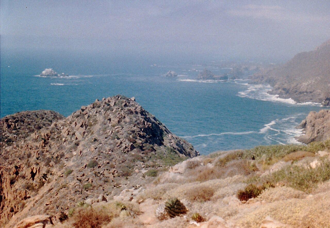
The valley is wine country. Santo Tomás grew up around an old mission site and is still mainly a wine-growing town, and Bodegas de Santo Tomás, founded in 1888, makes wine here. The curves are steady and gentle rather than tight, through farmland and vineyards and then rolling ranch country, with about 3,700 feet of total climbing along the way.
It's a working federal highway rather than a tourist road, and it makes a calm first leg of the drive south down the peninsula.
Along the way
- Maneadero (Mexico 1)
- Santo Tomás
- San Vicente
Good to know
- Mexico 1 is a free federal highway with no shoulder in places, and trucks are common.
- Livestock can wander onto the road in ranch country, and drivers on Baja highways are advised to avoid driving after dark.
Open all year, weather permitting. Roads close for snow, fire, storms and repairs: before you set off, check SICT (Mexico's federal roads agency).
Questions about this drive
How long does Mexico 1 from Maneadero to San Vicente take?
The Santo Tomás valley drive on Mexico 1 from Maneadero to San Vicente is 61.5 km (38 mi) and takes about 1 hr 10 min without stops.
Is Mexico 1 through the Santo Tomás valley twisty?
No. Mexico 1 through the Santo Tomás valley has steady, gentle curves rather than tight bends, though it climbs about 3,700 feet in all.
Is there a toll on Mexico 1 between Maneadero and San Vicente?
No. Mexico 1 south of Ensenada through the Santo Tomás valley is a free federal highway.
What is there to see on the Santo Tomás valley drive?
Vineyards and farmland near Maneadero and Santo Tomás, where Bodegas de Santo Tomás has made wine since 1888, then ranch country on the way to San Vicente.
What you get in the app
Free on iPhone and Android. CarPlay and Android Auto come with Apex.
More drives near here


Distance, time, elevation, curves and intensity are from Carve's route. Checked 2026-10-28.