Drives Baja California, Mexico Northern Baja: Tijuana, Ensenada and the Valle de Guadalupe
La Bufadora Road
BC 23 · Maneadero → La Bufadora

The drive
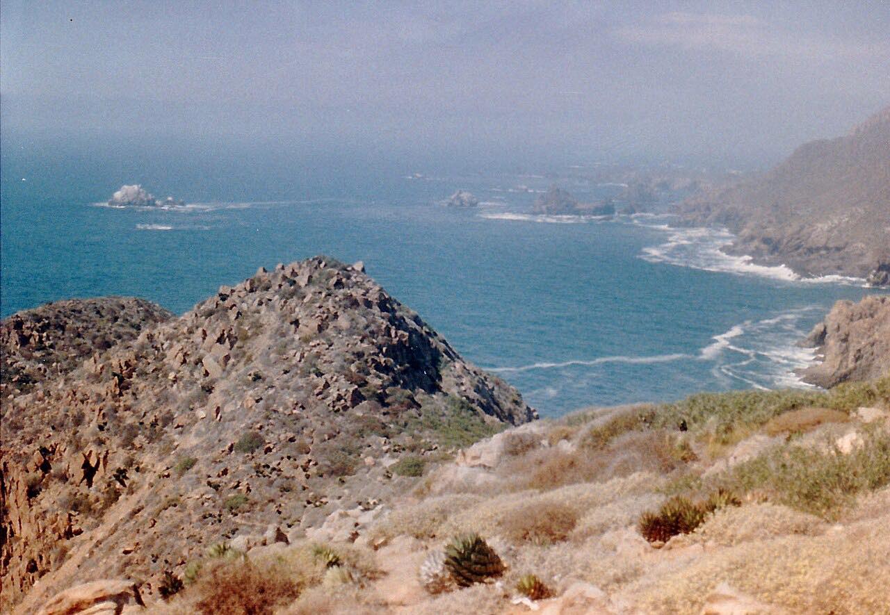
La Bufadora Road, BC-23, leaves Maneadero near Mexico 1 and runs 12 km (8 mi) out along the Punta Banda peninsula to La Bufadora, a seawater blowhole. The road climbs a hillside with ocean and bay views over mostly undeveloped country, with steady curves and a few climbs. The drive ends on BC-23 short of the village, so it does not enter the parking and vendor streets.
La Bufadora is about 27 km south of Ensenada. Waves force air into a sea cave and the trapped air blasts out as the water recedes, sending spray up to about 30 m every 13 to 17 seconds. Souvenir and food vendors line the street by the blowhole. The road is a dead end, so you turn around or carry on into the village.
Along the way
- Maneadero (BC-23)
- La Bufadora
Good to know
- It gets crowded at weekends; midweek has fewer people.
- Bring cash for parking and vendors, and pull over only where it is safe to stop.
- It is a dead-end road, so you drive back the way you came.
Open all year, weather permitting. Roads close for snow, fire, storms and repairs: before you set off, check Baja California Tourism.
Questions about this drive
How long does La Bufadora Road take?
La Bufadora Road from Maneadero out the Punta Banda peninsula is 12 km (8 mi) and takes about 25 minutes.
How far is La Bufadora from Ensenada?
La Bufadora is about 27 km south of Ensenada on the Punta Banda peninsula.
Is La Bufadora crowded?
It can be crowded at weekends, and a midweek visit has fewer people.
How high does La Bufadora spray?
The spray can reach about 30 m above sea level, with eruptions every 13 to 17 seconds.
What you get in the app
Free on iPhone and Android. CarPlay and Android Auto come with Apex.
More drives near here


Distance, time, elevation, curves and intensity are from Carve's route. Checked 2026-10-28.