Drives Georgia The South Carolina Upstate
Highway 28: Walhalla to Highlands
SC 28, Highlands Highway · Walhalla → Highlands

The drive
This is a three-state road with one number. Highway 28 leaves Walhalla, South Carolina, and climbs into the mountains of Oconee County, crosses the Chattooga River into Georgia near Mountain Rest, and carries on north across a corner of Georgia and into North Carolina and the town of Highlands. It is 28.6 miles and about 50 minutes, and it climbs 4,500 feet in all.
The road crosses the Chattooga River, a federally designated Wild and Scenic River, and cuts through Chattooga Ridge at Callas Gap, the highest point on the South Carolina section. A road guide says most of the corners are banked and confidence inspiring, with two or three blind hairpins whose radius tightens as you go. There are essentially no passing zones, so the pace is set by the car in front.
Traffic is usually light, and the road is quietest on weekday and Sunday mornings. Highlands, at the end, has restaurants and shops. The route is signed SC 28, GA 28 and NC 28 along the way.
Along the way
- Walhalla (Highway 28)
- Mountain Rest
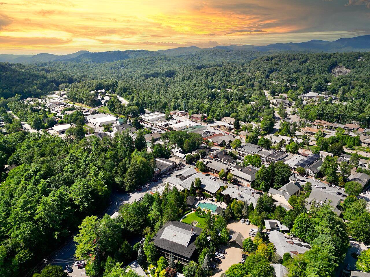
- Highlands (Highway 28)
Good to know
- There are essentially no passing zones; some mountain pull-offs let faster traffic by.
- Two or three of the hairpins are blind, with a tightening radius, so don't push the entry speed.
Open all year, weather permitting. Roads close for snow, fire, storms and repairs: before you set off, check South Carolina 511.
Questions about this drive
How long does Highway 28 from Walhalla to Highlands take?
Highway 28 from Walhalla, South Carolina, to Highlands, North Carolina, is 28.6 miles and takes about 50 minutes.
Does Highway 28 go through three states?
Yes. The route runs through South Carolina, a corner of Georgia and North Carolina, and is signed SC 28, GA 28 and NC 28.
Is there anywhere to pass on Highway 28 near Highlands?
Almost nowhere. Highway 28 has essentially no passing zones, though some pull-offs let faster traffic by.
Is Highway 28 from Walhalla to Highlands twisty?
Yes, it is twisty most of the way, with banked curves and a few blind hairpins through forest.
What you get in the app
Free on iPhone and Android. CarPlay and Android Auto come with Apex.
More drives near here



Distance, time, elevation, curves and intensity are from Carve's route. Checked 2026-10-28.