
Drives South Carolina North Georgia and the Upstate
Highway 107: Walhalla to the Mountains
SC 107, SC 28 · Walhalla → Near the North Carolina line

The drive
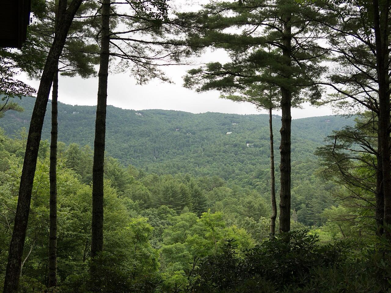
This drive leaves Walhalla on SC 28 and meets SC 107, which runs north through Sumter National Forest. The upper part is the Oscar Wigington Scenic Byway, which Discover South Carolina calls a little-traveled route with forest on both sides and turnouts for mountain views.
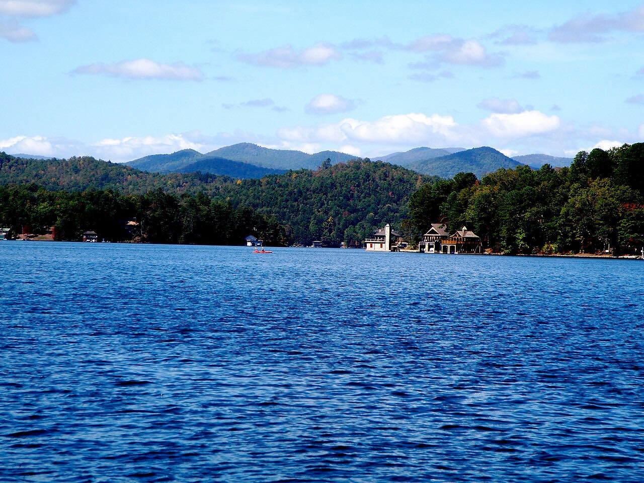
Oconee State Park is on the way. It has a lake and a swimming area, and it is one of 16 South Carolina state parks built by the Civilian Conservation Corps. Moody Spring, a natural spring beside the byway, is good for filling water bottles. Wigington Overlook, on SC 413 just off SC 107 near the state line, looks out over Lake Jocassee and the Blue Ridge.
The road is at its best in fall color and in early summer, when the rhododendron bloom. The drive ends a short way before the North Carolina line.
Along the way
- Walhalla
- Oconee State Park
- Near the North Carolina line
Good to know
- Oconee State Park charges an admission fee.
- Stumphouse Tunnel and Issaqueena Falls, a Walhalla city park, are reached from SC 28, not SC 107. Both are open daily except Christmas Day, from 10 a.m. to 5 p.m., weather permitting.
Open all year, weather permitting. Roads close for snow, fire, storms and repairs: before you set off, check SC 511.
Questions about this drive
How long does the SC 107 drive from Walhalla take?
Walhalla to the area near the North Carolina line on SC 28 and SC 107 is 21.6 miles and takes about 35 min without stops.
What is the Oscar Wigington Scenic Byway?
It is the name for SC 107 through Sumter National Forest, about 20 miles long. Discover South Carolina calls it a little-traveled route.
When is the best time to drive SC 107?
Discover South Carolina says the byway is especially beautiful during fall color and in early summer, when the rhododendron bloom.
What you get in the app
Free on iPhone and Android. CarPlay and Android Auto come with Apex.
More drives near here


Distance, time, elevation, curves and intensity are from Carve's route. Checked 2026-10-28.