Drives South Carolina The South Carolina Upstate
Highway 130: Salem to Sapphire
SC 130, NC 281 · Salem → Sapphire

The drive
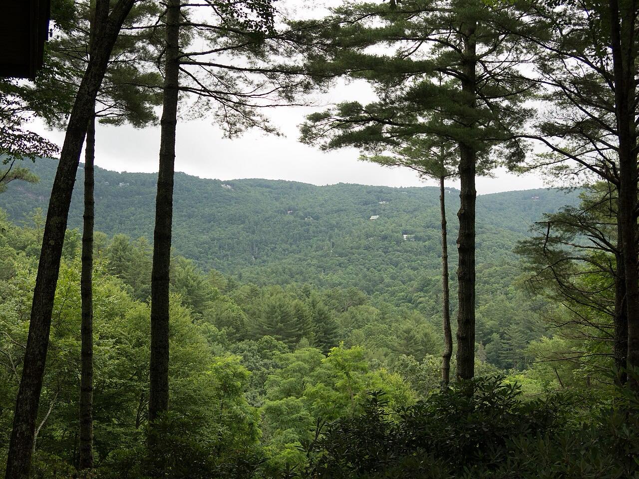
Highway 130 starts in the little town of Salem, South Carolina, and heads north into the mountains. North of its junction with SC 11, the Cherokee Foothills Scenic Highway, the road grows windier and starts to climb, and several overlooks offer views of Lake Jocassee and the Upstate before the state line.
At the line the road becomes NC 281. That side is Whitewater Way, a 9-mile scenic byway named for Whitewater Falls, with the access road to the Whitewater Falls recreation area on the way. The recreation area is a Forest Service site in the Nantahala National Forest, open dawn to dusk year round, with a day-use fee. The falls are reached on a spur, so this drive does not stop there.
The drive ends on NC 281 shortly before it meets US 64 near Sapphire: 20.3 miles, about 30 minutes, with steady curves and a long climb. North of Lake Toxaway, NC 281 gets steeper and narrower, with gravel in places; this drive stops short of that.
Along the way
- Salem (SC 130)
- Sapphire (NC 281)
Good to know
- There is a day-use fee at the Whitewater Falls recreation area, and it is open from dawn to dusk.
- Winter snow and ice make NC 281 in the mountains dangerous without proper equipment.
- NC 281 north of Lake Toxaway is steep, narrow and partly gravel; the drive here ends before it.
Open all year, weather permitting. Roads close for snow, fire, storms and repairs: before you set off, check NCDOT DriveNC.
Questions about this drive
How long does Highway 130 from Salem to Sapphire take?
SC 130 and NC 281 from Salem to Sapphire is 20.3 miles and takes about 30 minutes.
What is Whitewater Way?
Whitewater Way is a 9-mile scenic byway on NC 281, running from near Sapphire to the South Carolina line. It is named for Whitewater Falls.
Is there a fee to see Whitewater Falls?
Yes. The Forest Service charges a day-use fee at the Whitewater Falls recreation area, which is open from dawn to dusk year round.
Does SC 130 turn into NC 281?
Yes. SC 130 continues into North Carolina as NC 281 at the state line.
What you get in the app
Free on iPhone and Android. CarPlay and Android Auto come with Apex.
More drives near here



Distance, time, elevation, curves and intensity are from Carve's route. Checked 2026-10-28.