
Drives Saskatchewan Calgary, Edmonton and the Prairies
Cypress Hills: Highway 271
Cypress Hills, Saskatchewan · Maple Creek → Fort Walsh

The drive
Highway 271 is a paved two-lane road from Maple Creek, on Highway 21, to Fort Walsh National Historic Site in the West Block of Cypress Hills Interprovincial Park. Driven this way, it crosses remote prairie and small creeks, then climbs out of the plains through a series of tight switchbacks, 32.7 miles in all. Highway 271 runs together with Highway 724 along 5th Avenue in Maple Creek.
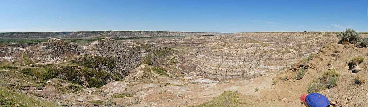
The Cypress Hills rise about 600 meters above the surrounding plains. Early Métis hunters called them les montagnes des Cyprès for the abundant lodgepole pine, though the tree is not a true cypress. Fort Walsh was set up in the 1870s to bring law and order to the border region by the North-West Mounted Police, and Parks Canada runs it as a living fort. The road ends at the fort.
Along the way
- Maple Creek (Highway 21)
- Fort Walsh
Good to know
- Fort Walsh National Historic Site has a season: it is open from mid-May to mid-September, Tuesday to Saturday, 10 a.m. to 4:30 p.m.
- Highway 271 ends at the fort, so the road to it is a dead end.
Open all year, weather permitting. Roads close for snow, fire, storms and repairs: before you set off, check Saskatchewan Highway Hotline.
Questions about this drive
How long does Highway 271 from Maple Creek to Fort Walsh take?
Highway 271 from Maple Creek to Fort Walsh is 32.7 miles and takes about 45 minutes.
Is Highway 271 paved?
Yes. Highway 271 is a paved two-lane road all the way from Maple Creek to Fort Walsh.
When is Fort Walsh open?
Fort Walsh is seasonal, so check Parks Canada's page for current hours before you go.
What you get in the app
Free on iPhone and Android. CarPlay and Android Auto come with Apex.
More drives near here


Distance, time, elevation, curves and intensity are from Carve's route. Checked 2026-10-28.