
Drives Montana Glacier, the Flathead and Northwest Montana
Chief Mountain Highway
MT 17 · Highway 89 junction → Chief Mountain Highway

The drive
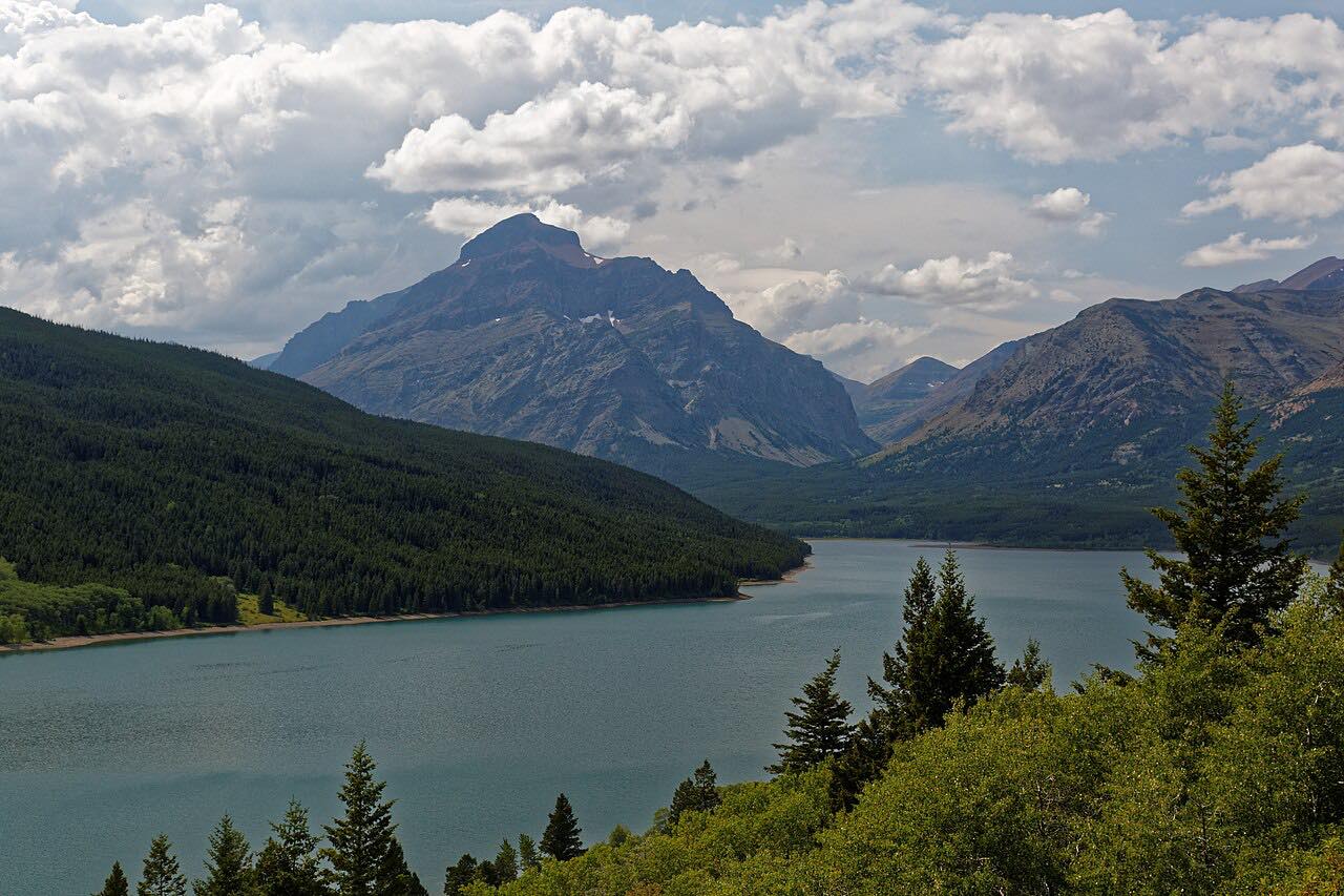
MT 17, the Chief Mountain Highway, runs northwest from US 89 north of Babb along the east edge of Glacier National Park toward the Canadian border. Chief Mountain dominates the view. The quiet two-lane rolls through prairie, aspen and forest, and the first 3 1/3 miles from the border end lie inside the park.
The drive is 13.2 miles and about 20 minutes, ending before the border station. The road continues north into Alberta as Highway 6 toward Waterton Lakes.
The Chief Mountain border crossing is seasonal.
Along the way
- Highway 89 junction
- Chief Mountain Highway (before the border)
Good to know
- The road closes by snow in winter.
- The Chief Mountain border crossing is open during the summer season only; a passport is required to cross.
- Glacier's published vehicle size limits are for Going-to-the-Sun Road; none are listed for this highway.
Closed by snow in winter; the Canadian border crossing is open only in summer. Roads close for snow, fire, storms and repairs: before you set off, check Glacier National Park roads (NPS).
Questions about this drive
How long does the Chief Mountain Highway take?
The Chief Mountain Highway from US 89 toward the border is 13.2 miles and takes about 20 minutes.
Is the Chief Mountain Highway open in winter?
No. The road is closed by snow in winter, and the border crossing is open in summer only.
Does Chief Mountain Highway lead to Canada?
Yes. MT 17 reaches the Chief Mountain border crossing, then continues as Alberta Highway 6 toward Waterton Lakes.
What you get in the app
Free on iPhone and Android. CarPlay and Android Auto come with Apex.
More drives near here



Distance, time, elevation, curves and intensity are from Carve's route. Checked 2026-10-28.