Drives Alberta Calgary, Edmonton and the Prairies
Hoodoo Trail: Highway 10
Drumheller Badlands, Alberta · Drumheller → East Coulee

The drive
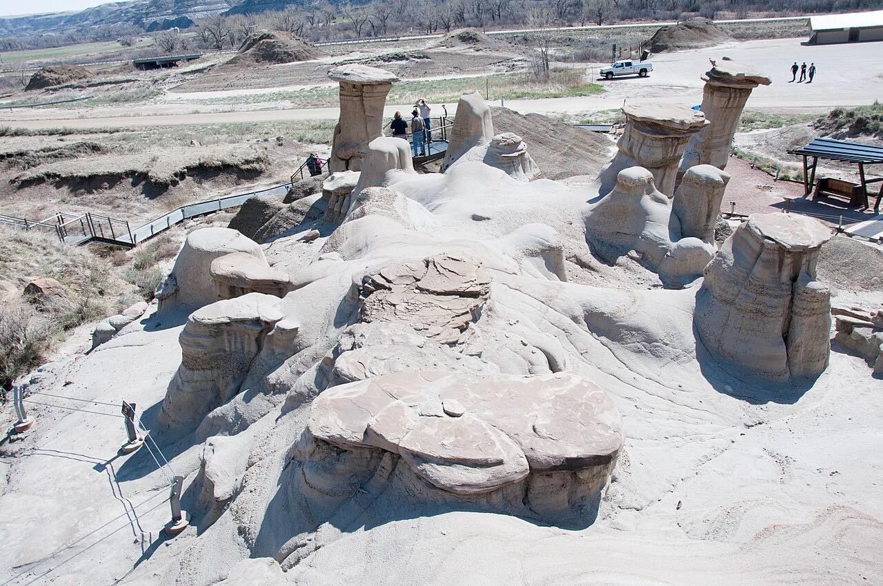
Highway 10 is the Hoo Doo Trail. It begins at Highway 9 in central Drumheller and runs along the Red Deer River through the badlands, entirely within the Town of Drumheller. This drive goes through Rosedale, past the hoodoos, and on to East Coulee, 12.1 miles in about 15 minutes, leisurely with mostly gentle curves.
Highway 10 shares its number with Highway 56 from Drumheller through Rosedale, and the speed limit drops to 50 km/h in Rosedale. East Coulee was a coal-mining community with a population of about 3,000 in the mid-1940s. Highway 10 itself ends at the entrance to the Atlas Coal Mine, a National Historic Site since 2001, which operated from 1936 to 1974 and preserves one of Canada's last surviving wooden mine tipples.
Along the way
- Drumheller (Highway 9)
- Rosedale
- Hoodoos
- East Coulee
Good to know
- Expect a 50 km/h limit through Rosedale.
- Highway 10 is entirely within the Town of Drumheller.
Open all year, weather permitting. Roads close for snow, fire, storms and repairs: before you set off, check 511 Alberta.
Questions about this drive
How long is the Hoodoo Trail on Highway 10?
Drumheller to East Coulee is 12.1 miles and takes about 15 minutes.
Where does Highway 10 start and end?
Highway 10 runs about 22 km from Highway 9 in Drumheller to the entrance of the Atlas Coal Mine.
What is East Coulee known for?
It is a former coal-mining community near the Atlas Coal Mine, which operated from 1936 to 1974.
What you get in the app
Free on iPhone and Android. CarPlay and Android Auto come with Apex.
More drives near here

Distance, time, elevation, curves and intensity are from Carve's route. Checked 2026-10-28.