Drives Alberta Banff, Jasper and the Canadian Rockies
Cowboy Trail: Longview to Lundbreck
Morrison Road · Longview → Lundbreck

The drive
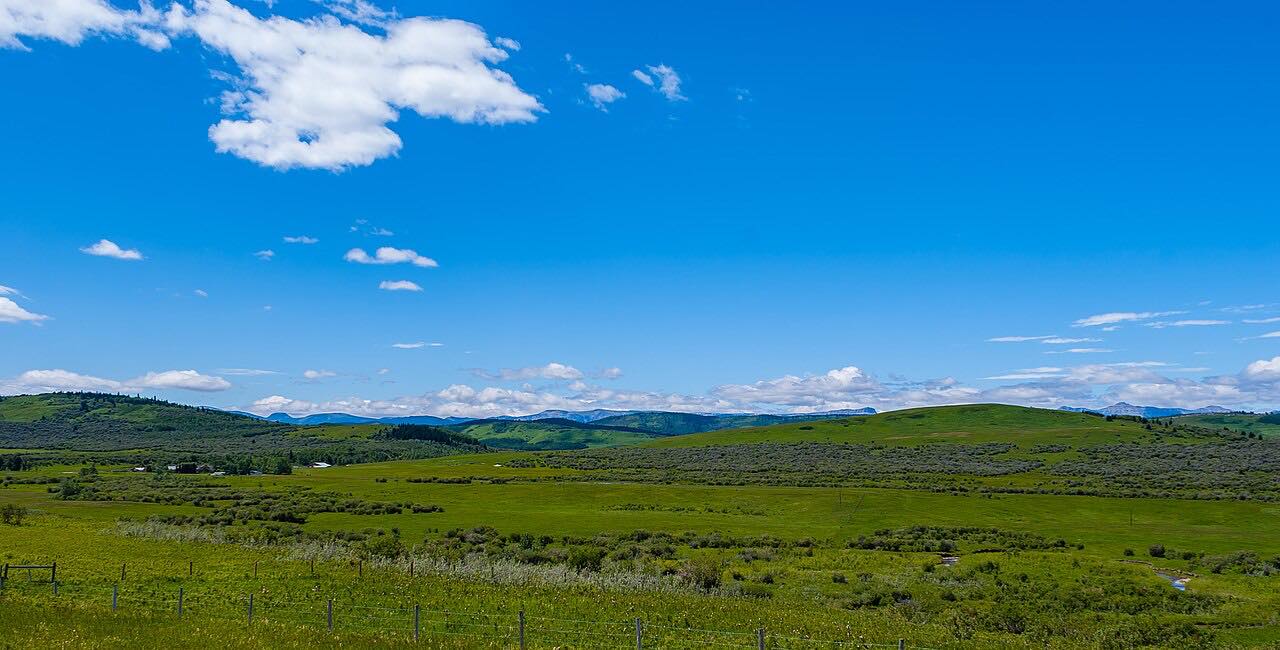
Highway 22 is the Cowboy Trail, which runs more than 570 km from near Lundbreck Falls in the south to Highway 18 near Mayerthorpe in the north. This drive covers the southern part, 67.9 miles in about an hour, from Longview south to the Crowsnest Highway at Lundbreck. It is a leisurely road with mostly gentle curves.
The highway passes Chain Lakes Reservoir and Chain Lakes Provincial Park. Wikipedia notes the last unpaved stretch near the park was paved in the mid-1990s. At Longview, Highway 541 branches west toward Kananaskis Country. Highway 22 parallels the four-lane Highway 2 less than 100 km to the east.
Along the way
- Longview (Highway 541)
- Chain Lakes
- Lundbreck (Highway 3)
Good to know
- Highway 541 branches west at Longview toward Kananaskis Country.
- The last unpaved stretch near Chain Lakes Provincial Park was paved in the mid-1990s, so the whole route is paved today.
- Check 511 Alberta for road conditions before you go.
Open all year, weather permitting. Roads close for snow, fire, storms and repairs: before you set off, check 511 Alberta.
Questions about this drive
How long is the Cowboy Trail from Longview to Lundbreck?
Longview to Lundbreck is 67.9 miles and takes about an hour.
Where does Highway 22 start in the south?
Highway 22 begins at Highway 3, the Crowsnest Highway, near Lundbreck Falls.
Does the Cowboy Trail pass Chain Lakes Provincial Park?
Yes: Highway 22 passes Chain Lakes Reservoir and Chain Lakes Provincial Park.
What you get in the app
Free on iPhone and Android. CarPlay and Android Auto come with Apex.
More drives near here

Distance, time, elevation, curves and intensity are from Carve's route. Checked 2026-10-28.