Drives Alberta Banff, Jasper and the Canadian Rockies
Crowsnest Pass: Highway 3
Crowsnest Highway · Lundbreck → Fernie

The drive
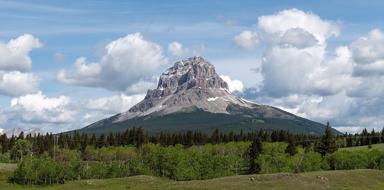
Highway 3 here is the Crowsnest Highway, climbing from the foothills at Lundbreck up to the Continental Divide at the Alberta and British Columbia border and then down into the Elk Valley to Fernie. Highway 3 bypasses Lundbreck, where Highway 22 begins, so the drive starts at that junction and heads west into the Rockies.
The best-known stop is the Frank Slide. On April 29, 1903, part of Turtle Mountain broke off and buried part of the town of Frank, killing about 90 of its roughly 500 residents in about 90 seconds. The Frank Slide Interpretive Centre sits just off Highway 3 between Bellevue and Blairmore, overlooking the rubble, with exhibits, a film and an interpretive trail through the rock.
Past Coleman, where Highway 40 joins, and Blairmore, the road runs along the south side of Crowsnest Lake and over the divide into British Columbia. It is a plain two-lane highway with mountain views rather than a twisty one.
Along the way
- Lundbreck (Highway 22)
- Fernie
Good to know
- Winter tires are required on designated British Columbia highways, including those in the Interior, from October 1 to March 31 (April 30 on some routes); signs mark them.
- The Frank Slide Interpretive Centre is a provincial historic site with its own hours and admission; check before you plan a stop.
- The Alberta and British Columbia sections are tracked by different agencies, so check both 511 Alberta and DriveBC in winter.
Open all year, weather permitting. Roads close for snow, fire, storms and repairs: before you set off, check 511 Alberta.
Questions about this drive
How long is Crowsnest Pass Highway 3 from Lundbreck to Fernie?
Highway 3 from Lundbreck to Fernie is 57.1 miles and takes about 1 hr 6 min without stops.
Where is the Frank Slide on Highway 3?
The Frank Slide Interpretive Centre is just off Highway 3 in the Crowsnest Pass, between Bellevue and Blairmore. The slide itself, from April 29, 1903, is visible from the highway.
Do you need winter tires on Crowsnest Pass Highway 3?
On the British Columbia side, winter tires are required on designated highways from October 1 to March 31, with some routes to April 30. Check 511 Alberta and DriveBC for current conditions.
Is Highway 3 over Crowsnest Pass open year-round?
Crowsnest Pass Highway 3 is a main year-round highway between southern Alberta and British Columbia. Check 511 Alberta and DriveBC for conditions.
What you get in the app
Free on iPhone and Android. CarPlay and Android Auto come with Apex.
More drives near here


Distance, time, elevation, curves and intensity are from Carve's route. Checked 2026-10-28.