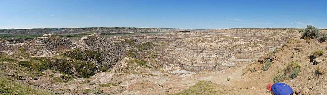
Drives Alberta Calgary, Edmonton and the Prairies
North Dinosaur Trail
Drumheller Badlands, Alberta · Drumheller → Bleriot Ferry

The drive
Highway 838, the North Dinosaur Trail, runs about 26 km from Highway 9 and 56 in Drumheller up the Red Deer River valley. The Royal Tyrrell Museum is about 6 km northwest of Drumheller on Highway 838, in Midland Provincial Park. The drive then continues past the Horsethief Canyon viewpoint and ends just short of the Bleriot Ferry landing.
The ferry is a cable ferry run by Alberta Transportation, commissioned in 1913. It carries Highway 838 across the Red Deer River and is free. This drive stops before the river, so it does not use the ferry. It is 13.4 miles, about 20 minutes, leisurely with mostly gentle curves and about 700 feet of climb.
Along the way
- Drumheller (Highway 9)
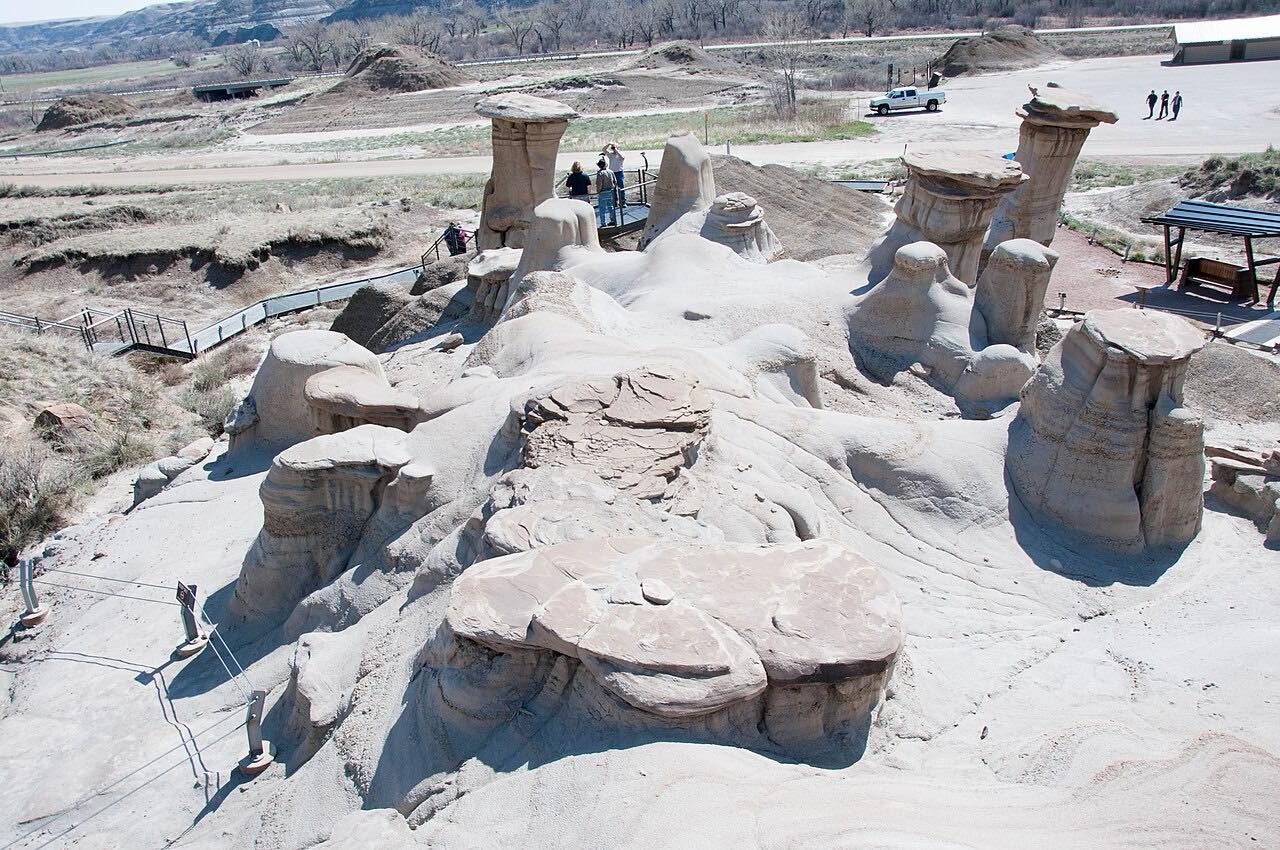
- Royal Tyrrell Museum
- Horsethief Canyon
- Bleriot Ferry
Good to know
- The Bleriot Ferry runs only from late April to November, and is closed in winter.
- The Royal Tyrrell Museum is open daily May 15 to August 31, and closed Mondays from September 1 to May 14 except holidays.
Open all year, weather permitting. Roads close for snow, fire, storms and repairs: before you set off, check 511 Alberta.
Questions about this drive
How long is the North Dinosaur Trail drive?
Drumheller to the Bleriot Ferry is 13.4 miles and takes about 20 minutes.
Is the Bleriot Ferry open in winter?
No: it operates from late April to November and is closed in winter.
Where is the Royal Tyrrell Museum on Highway 838?
It is about 6 km northwest of Drumheller on Highway 838 in Midland Provincial Park.
What you get in the app
Free on iPhone and Android. CarPlay and Android Auto come with Apex.
More drives near here

Distance, time, elevation, curves and intensity are from Carve's route. Checked 2026-10-28.