Drives Prince Edward Island Nova Scotia, New Brunswick and Prince Edward Island
Green Gables Shore: Routes 6 and 20
Route 6, Route 20, Cavendish Road · North Rustico → Malpeque

The drive
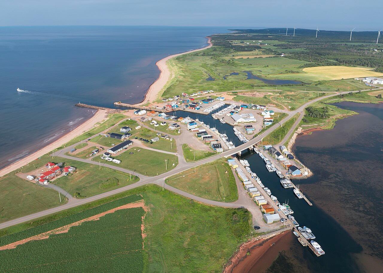
This drive follows Prince Edward Island's north shore from North Rustico west through Cavendish. Tourism PEI points to cod and mackerel fishing at North Rustico and to Green Gables Heritage Place at Cavendish, within Prince Edward Island National Park.
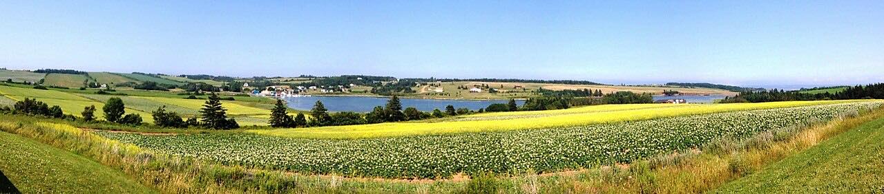
Past Cavendish the drive follows Route 20 to French River. Tourism PEI describes it as a tiny fishing village with hills and farmland overlooking New London Bay. The New London Lighthouse and the Yankee Hill Pioneer Cemetery are nearby. The drive continues through Park Corner and ends at Malpeque.
The hills are gentle and the curves are soft.
Along the way
- North Rustico
- Cavendish
- French River
- Park Corner
- Malpeque
Good to know
- Check PEI 511 for road work before you go.
- Green Gables Heritage Place is within Prince Edward Island National Park.
Open all year, weather permitting. Roads close for snow, fire, storms and repairs: before you set off, check PEI 511.
Questions about this drive
How long does the Green Gables Shore drive take?
North Rustico to Malpeque on Routes 6 and 20 is 24.6 miles and takes about 40 min without stops.
Where does the Green Gables Shore drive start?
It starts at North Rustico and runs west through Cavendish to French River, Park Corner and Malpeque.
Is French River worth a stop on Route 20?
Tourism PEI describes French River as a tiny fishing village with hills and farmland overlooking New London Bay. The New London Lighthouse is nearby.
What you get in the app
Free on iPhone and Android. CarPlay and Android Auto come with Apex.
More drives near here



Distance, time, elevation, curves and intensity are from Carve's route. Checked 2026-10-28.