
Drives Prince Edward Island Nova Scotia, New Brunswick and Prince Edward Island
Route 11: Miscouche to Cap-Egmont
Route 11, Route 124, Route 12 · Miscouche → Cap-Egmont

The drive
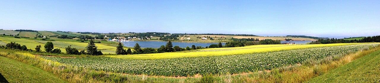
Route 11 is the main road through the Évangéline Region, the largest French-speaking area on Prince Edward Island. This short drive heads west from Miscouche, through Mont-Carmel, to Cap-Egmont, on farm and shoreline country by the Northumberland Strait.
Miscouche is home to the Acadian Museum, which tells the story of Island Acadians from 1720, and it hosted the Second Acadian National Convention in 1884. Notre-Dame-du-Mont-Carmel church, completed in 1898, overlooks the strait. At Cap-Egmont you can visit the Bottle Houses.
The whole region can be crossed in under half an hour on Route 11, so this is an easy add-on to a longer trip around western PEI. It once formed part of the Lady Slipper Drive, replaced in 2005 by the North Cape Coastal Drive.
Along the way
- Miscouche
- Cap-Egmont
Good to know
- Attractions such as the Acadian Museum and the Bottle Houses have their own seasons and hours; check before planning a stop.
- The road is a quiet two-lane route, so expect farm vehicles and local traffic.
Open all year, weather permitting. Roads close for snow, fire, storms and repairs: before you set off, check PEI Roads.
Questions about this drive
How long is Route 11 from Miscouche to Cap-Egmont?
Route 11 from Miscouche to Cap-Egmont is 15.5 miles and takes about 27 minutes.
What is the Évangéline Region of PEI?
It is the Island's largest French-speaking area, with Acadian museums, churches and craft centers along Route 11.
What is the Lady Slipper Drive?
Lady Slipper Drive was an older scenic drive in Prince County that was replaced in 2005 by the North Cape Coastal Drive. Route 11 was part of that area.
What you get in the app
Free on iPhone and Android. CarPlay and Android Auto come with Apex.
More drives near here


Distance, time, elevation, curves and intensity are from Carve's route. Checked 2026-10-28.