
Drives Colorado Summit County, Vail, Aspen and the High Country
Hoosier Pass: Highway 9
CO 9 · Breckenridge → Fairplay

The drive
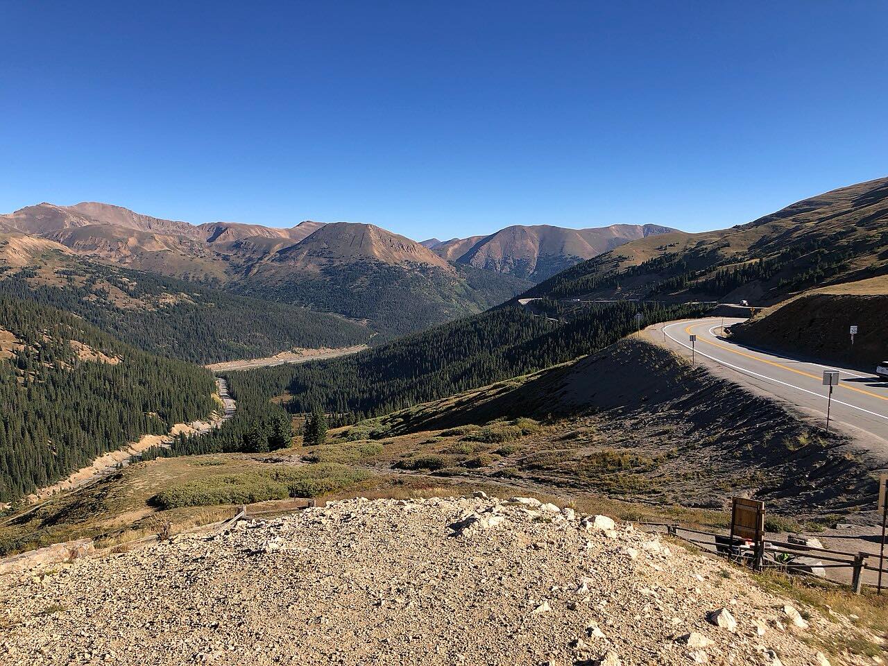
Hoosier Pass carries Highway 9 over the Continental Divide between Summit County and Park County. This drive starts in Breckenridge and heads south, so the climbing and the tight turns come first, on the north side. The summit is at about 11,500 feet, one of the higher paved passes in the state.
From the top the road drops to Alma and then on to Fairplay. At 21 miles and about 30 minutes, it's a short drive, and it works as a quick way between Breckenridge and the South Platte side of the mountains.
Along the way
- Breckenridge
- Hoosier Pass
- Alma
- Fairplay
Good to know
- Highway 9 stays open all year, but winter storms and crashes can close it for hours. Check COtrip before you go.
- Chain and traction laws can be in effect in winter; CDOT has built a chain-up station on the Alma side.
Open all year, weather permitting. Roads close for snow, fire, storms and repairs: before you set off, check CDOT COtrip.
Questions about this drive
How long does Hoosier Pass take to drive?
Breckenridge to Fairplay over Hoosier Pass on Highway 9 is 21 miles and takes about 30 min in good conditions.
Is Hoosier Pass open in winter?
Yes. Highway 9 over Hoosier Pass is plowed and open all year, though storms and crashes close it at times.
How high is Hoosier Pass?
Hoosier Pass is about 11,500 feet on the Continental Divide. Sources give figures from 11,532 to 11,542 feet.
How twisty is Hoosier Pass?
Hoosier Pass is mostly gentle, with two twisty stretches, and the switchbacks are on the Breckenridge side of the climb.
What you get in the app
Free on iPhone and Android. CarPlay and Android Auto come with Apex.
More drives near here


Distance, time, elevation, curves and intensity are from Carve's route. Checked 2026-10-28.