Drives Colorado Summit County, Vail, Aspen and the High Country
Loveland Pass: US-6
US 6, Loveland Pass · Loveland Ski Area → Keystone

The drive
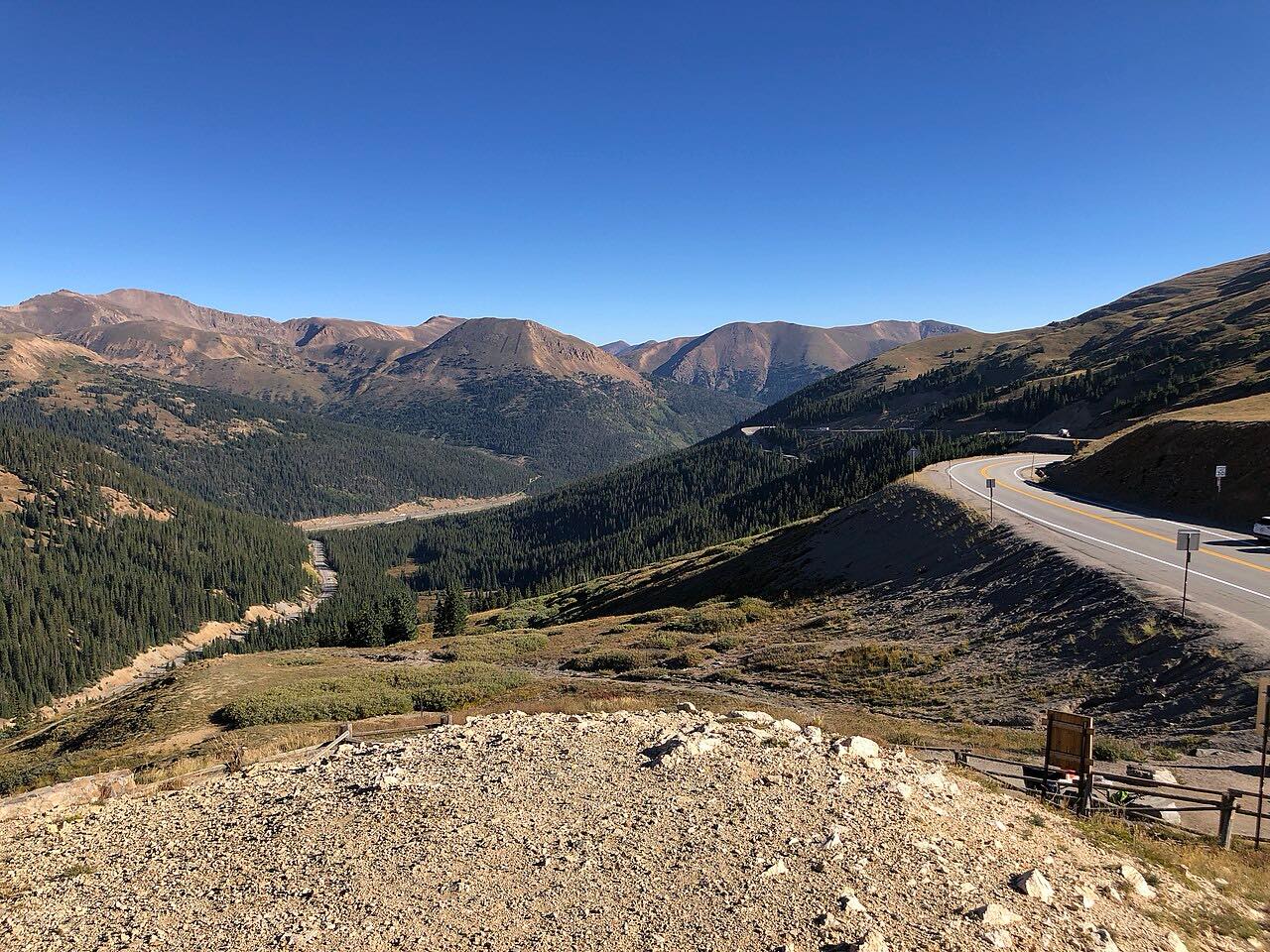
Loveland Pass is US 6 over the Continental Divide, a highway that crosses above the Interstate 70 tunnels. The drive leaves the Loveland ski area at I-70, climbs west in hairpins to the pass at about 12,000 feet, and drops past Arapahoe Basin to Keystone.
Most of the tight turns come on the first six miles up from the interstate. At the top, the road is above treeline and the views open over the Continental Divide and Summit County. It's a short drive, 14 miles in about 25 minutes, but the climb is steep and the road has little room.
Along the way
- Loveland Ski Area (I-70)
- Loveland Pass
- Arapahoe Basin
- Keystone
Good to know
- Trucks carrying hazardous materials can't use the Eisenhower Tunnel, so they are sent over the pass. Expect to share tight curves with tankers.
- CDOT describes the pass as having tight switchbacks and steep grades, and it often closes for snow and avalanche danger. Check COtrip in winter.
- Landslides and work have closed the pass for long stretches before, so check for work or closures before you go.
Open all year, weather permitting. Roads close for snow, fire, storms and repairs: before you set off, check CDOT COtrip.
Questions about this drive
How long does Loveland Pass take to drive?
Loveland ski area to Keystone on US 6 is 14 miles and takes about 25 min.
Is Loveland Pass open in winter?
Yes, US 6 over Loveland Pass is plowed all year, but it often closes during storms or for avalanche danger.
Why do trucks drive over Loveland Pass?
Hazardous-materials trucks aren't allowed through the Eisenhower Tunnel on I-70, so they are routed over Loveland Pass on US 6.
How twisty is Loveland Pass?
Loveland Pass is rated Twisty, with hairpins on the climb from I-70 and a long, open descent toward Keystone.
What you get in the app
Free on iPhone and Android. CarPlay and Android Auto come with Apex.
More drives near here


Distance, time, elevation, curves and intensity are from Carve's route. Checked 2026-10-28.