
Drives Colorado Summit County, Vail, Aspen and the High Country
Tennessee Pass: US-24
US 24 · Minturn → Leadville

The drive
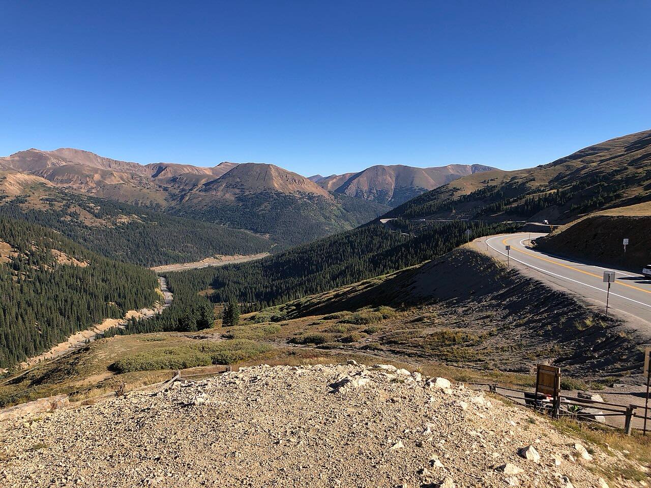
This is part of the Top of the Rockies Scenic Byway: US 24 from Minturn up the Eagle River, over Tennessee Pass, and south to Leadville. The first stretch is the tightest, with curves and drop-offs on Battle Mountain, before the valley opens into wide high country.
Beyond Red Cliff the road crosses the Red Cliff Bridge, a 1941 cantilevered steel arch with a main span of 318 feet. It's on the National Register of Historic Places. Farther on, the road passes Camp Hale, where the Army's 10th Mountain Division trained from late 1942 to mid-1944. No original buildings remain, but the site is now the Camp Hale-Continental Divide National Monument, created in 2022.
Tennessee Pass is at about 10,400 feet. Leadville, at 10,200 feet, is the highest incorporated community in the United States.
Along the way
- Minturn
- Red Cliff bridge
- Camp Hale
- Tennessee Pass
- Leadville
Good to know
- Expect trucks on the Battle Mountain section; the road is narrow with drop-offs.
- CDOT placed load limits on the Red Cliff Bridge after inspectors found thinning steel in 2020, so heavy trucks are restricted there.
- US 24 over Tennessee Pass is open year-round, but check COtrip in winter storms.
Open all year, weather permitting. Roads close for snow, fire, storms and repairs: before you set off, check CDOT COtrip.
Questions about this drive
How long does Tennessee Pass take to drive?
Minturn to Leadville on US 24 over Tennessee Pass is 30 miles and takes about 55 min.
Is Tennessee Pass open in winter?
Yes. US 24 over Tennessee Pass is a year-round highway, though storms can slow or close it.
What is Camp Hale?
Camp Hale was an Army training camp on US 24 where the 10th Mountain Division trained from 1942 to 1944. It became a national monument in 2022.
What is the Red Cliff Bridge?
The Red Cliff Bridge is a 1941 steel arch that carries US 24 over the Eagle River near Red Cliff. It was added to the National Register of Historic Places in 1985.
What you get in the app
Free on iPhone and Android. CarPlay and Android Auto come with Apex.
More drives near here



Distance, time, elevation, curves and intensity are from Carve's route. Checked 2026-10-28.