

The drive
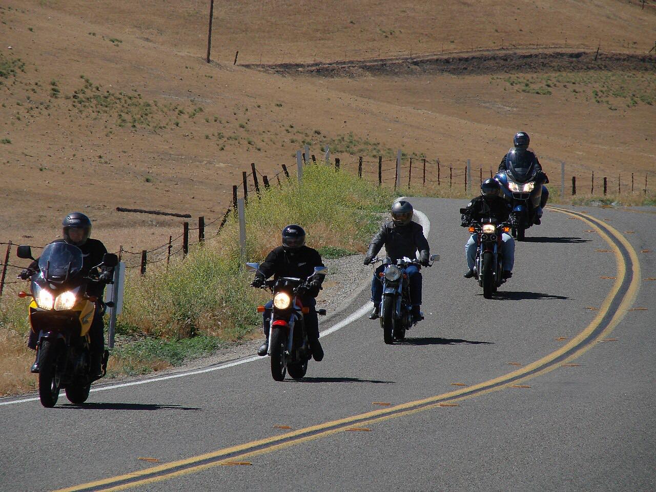
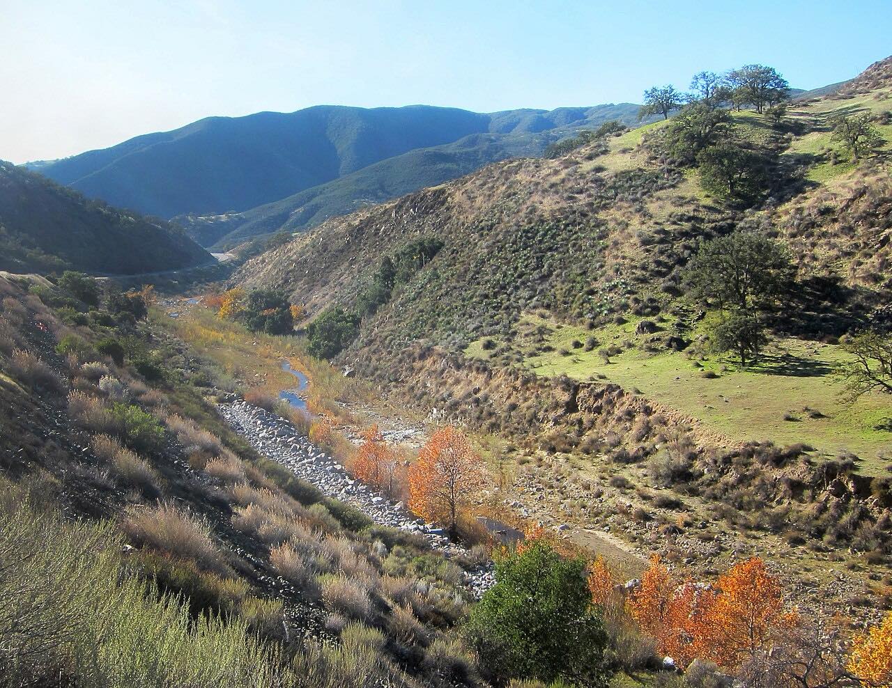
Old Creek Road is the slow, pretty way from Highway 46 down to the coast. It leaves 46 near the top of the Santa Lucia Range and winds south through ranch land and avocado and orange groves, in a series of gentle hairpins, toward Cayucos.
Lower down it runs beside Whale Rock Reservoir, made by a dam on Old Creek in 1961 to supply drinking water to San Luis Obispo, Cal Poly and Cayucos, and the views open out over the water to the Pacific. The drive ends where Old Creek Road meets Highway 1 at the south end of Cayucos, a short way from the beach.
It's driven toward the sea: most people arrive on Highway 46 from Paso Robles and finish at the coast. It pairs with the Highway 46 West drive for a loop.
Along the way
- Highway 46
- Cayucos (Highway 1)
Good to know
- It's a narrow two-lane county road with tight, blind bends.
- Cyclists use it; give them room on the bends.
Open all year, weather permitting. Roads close for snow, fire, storms and repairs: before you set off, check San Luis Obispo County: road closures, delays and status.
Questions about this drive
How long is Old Creek Road?
Old Creek Road from Highway 46 to Highway 1 at Cayucos is 7.6 miles and takes about 20 minutes.
Is Old Creek Road twisty?
Moderately. Old Creek Road has three twisty stretches with tight, blind bends, between easier curves past the groves and the reservoir.
What is the reservoir on Old Creek Road?
Old Creek Road runs past Whale Rock Reservoir, formed by a 1961 dam on Old Creek, which supplies drinking water to San Luis Obispo, Cal Poly and Cayucos.
What you get in the app
Free on iPhone and Android. CarPlay and Android Auto come with Apex.
More drives near here



Distance, time, elevation, curves and intensity are from Carve's route. Checked 2026-10-28.