Drives Nevada Las Vegas and Southern Nevada
Mount Charleston Loop
NV 157, NV 158, NV 156 · Loop from US-95

The drive
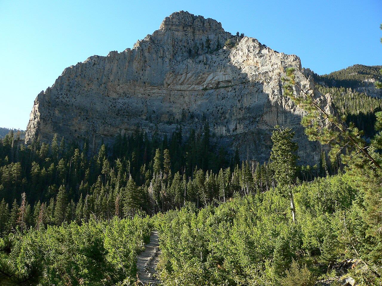
The Mount Charleston loop uses three Nevada state routes in the Spring Mountains: Kyle Canyon Road (SR 157), Deer Creek Road (SR 158) and Lee Canyon Road (SR 156). Kyle Canyon Road is 21.6 miles from Las Vegas to Mount Charleston, and its westernmost 13 miles in the national forest are a Nevada Scenic Byway. Deer Creek Road, 8.9 miles, links the two canyons. Lee Canyon Road is 17.5 miles from US 95 to the ski area.
Charleston Peak, the range's highest point, is 11,918 feet. The mountains run roughly 30 to 40 degrees cooler than the valleys below, which makes them a getaway for Las Vegas.
Along the way
- US-95 (Kyle Canyon Road)
- Deer Creek Road
- US-95 (Lee Canyon Road)
Good to know
- Lee Canyon has a ski resort at its end.
- Check Nevada 511 for snow and closures.
Open all year, weather permitting. Roads close for snow, fire, storms and repairs: before you set off, check Nevada 511 road conditions.
Questions about this drive
How long is the Mount Charleston loop?
The Mount Charleston loop from Kyle Canyon Road to Lee Canyon Road is 39.9 miles and takes about 50 minutes.
Is Mount Charleston cooler than Las Vegas?
Yes. The area is roughly 30 to 40 degrees Fahrenheit cooler than the valleys below.
Are the roads to Mount Charleston scenic byways?
Yes. NDOT designated Kyle Canyon, Deer Creek and Lee Canyon roads as Nevada Scenic Byways.
What you get in the app
Free on iPhone and Android. CarPlay and Android Auto come with Apex.
More drives near here


Distance, time, elevation, curves and intensity are from Carve's route. Checked 2026-10-28.