Drives Nevada Las Vegas and Southern Nevada
Red Rock Canyon Scenic Drive
Scenic Loop, Scenic Drive · Red Rock Canyon Visitor Center → Highway 159

The drive
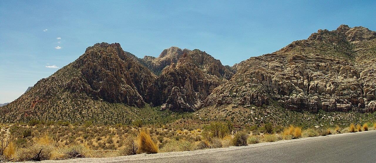
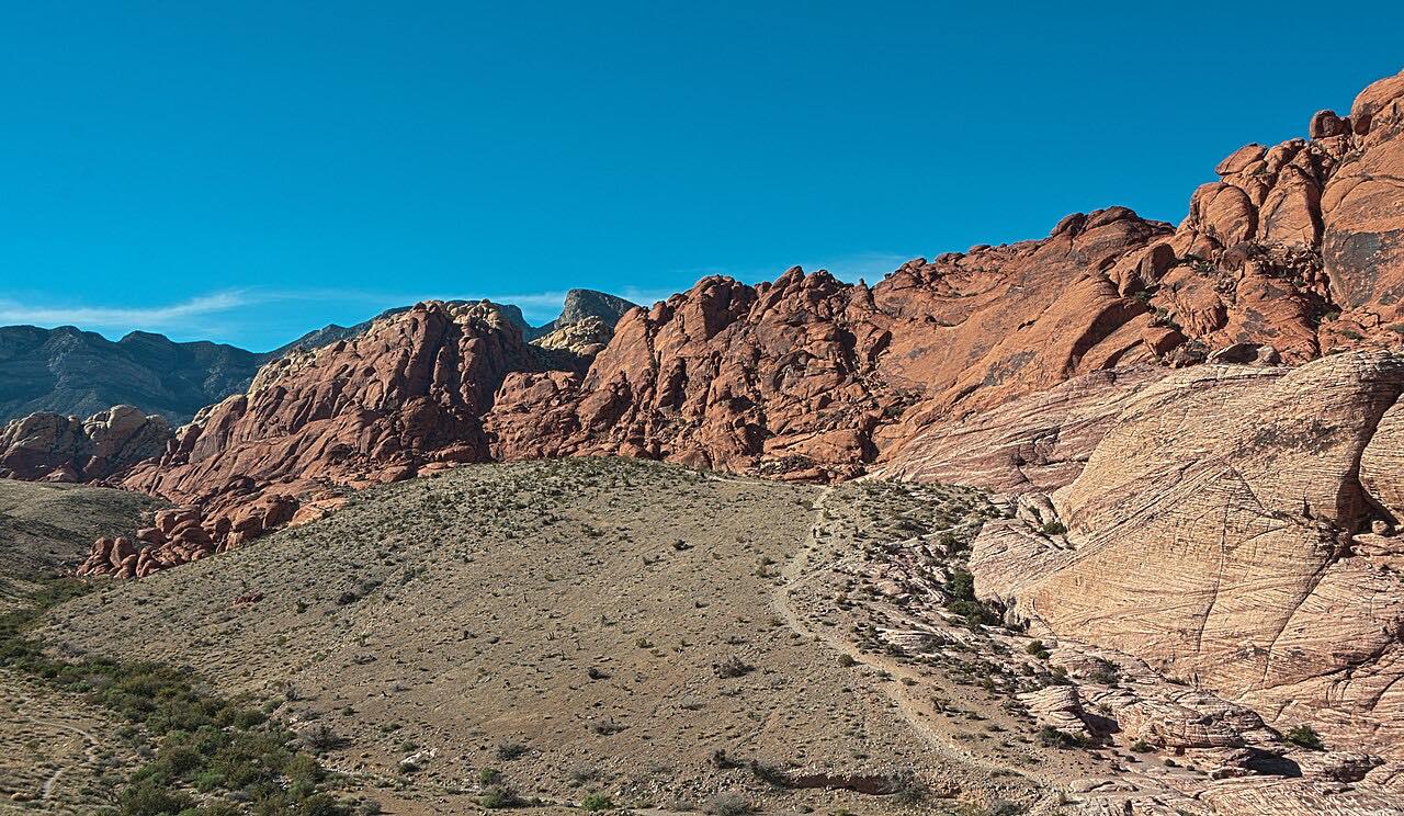
The Scenic Drive at Red Rock Canyon National Conservation Area is a 13-mile paved loop, and all traffic runs one way. It passes through arid desert and red and buff rock formations, with sandstone and limestone cliffs that rise above 7,000 feet. Many pull-outs give parking and trail access, and visitors often watch climbers on the cliffs.
This drive begins at the Visitor Center, passes the Calico Hills, and climbs to High Point Overlook before ending at Highway 159. It covers 11.9 miles in about an hour and rates as twisty, with three twisty stretches. Willow Spring Picnic Area is about halfway around the loop.
Along the way
- Red Rock Canyon Visitor Center
- Calico Hills
- High Point Overlook
- Highway 159
Good to know
- From October 1 through May 31, a timed-entry reservation is required for entry between 8 a.m. and 5 p.m.; book at Recreation.gov or call 877-444-6777.
- There is a fee booth at the entrance, and the receipt is good for the day when you also hold any required reservation.
- The drive is open from 6 a.m. daily and closes around sunset: 5 p.m. November through February, 7 p.m. in March and October, 8 p.m. April through September.
- Road bikes are allowed. Cyclists follow the one-way direction, stay in their lane and ride single file except when passing.
- Cell service is limited, so save your ticket before reaching the entrance station.
Open all year, weather permitting. Roads close for snow, fire, storms and repairs: before you set off, check Recreation.gov: Red Rock Canyon Scenic Drive timed entry.
Questions about this drive
Do you need a reservation for the Red Rock Canyon Scenic Drive?
From October 1 through May 31, yes: a timed-entry reservation is required for entry between 8 a.m. and 5 p.m. The Red Rock Canyon Scenic Drive reservation is booked at Recreation.gov.
Is the Red Rock Canyon Scenic Drive one-way?
Yes. All traffic on the 13-mile Scenic Drive travels one way.
How long does the Red Rock Canyon Scenic Drive take?
The route here is 11.9 miles and about an hour. Recreation.gov puts the full 13-mile drive at about 40 minutes without stopping.
Can you bike the Red Rock Canyon Scenic Drive?
Yes. Road bikes are allowed on the Scenic Drive; riders follow the one-way direction and ride single file except when passing.
What you get in the app
Free on iPhone and Android. CarPlay and Android Auto come with Apex.
More drives near here


Distance, time, elevation, curves and intensity are from Carve's route. Checked 2026-10-28.