
The drive
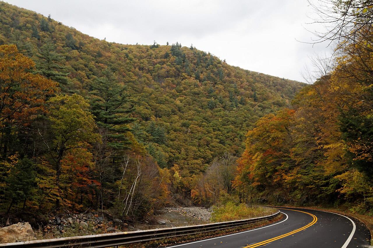
Vermont Route 30 follows the West River northwest from Brattleboro, through West Dummerston, Newfane and Townshend, to Jamaica. This drive is 24.7 miles and takes about 40 minutes, with gentle curves and a modest climb.
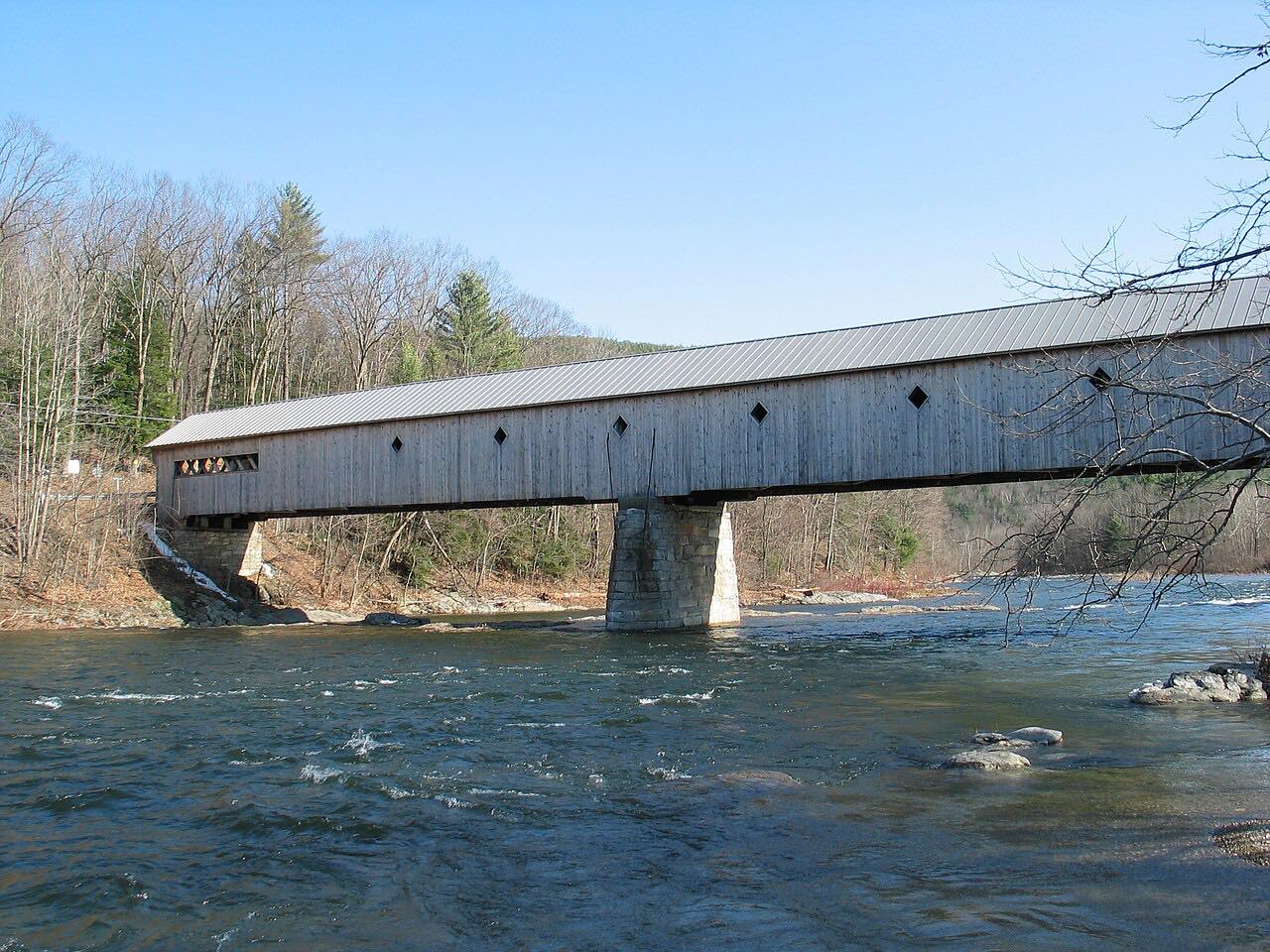
The stop is at Townshend, where the Scott Covered Bridge crosses the West River just west of the main village and south of Townshend Dam. It was built in 1870, is 277 feet long with three spans, and is one of the longest covered bridges in Vermont. It is closed to motor vehicles, but reopened to foot and bicycle traffic in May 2017 after a $2.35 million repair.
At Jamaica the highway leaves the West River valley and climbs into Winhall, beyond the end of this drive.
Along the way
- Brattleboro (Linden Street)
- Newfane
- Townshend
- Jamaica
Good to know
- The Scott Covered Bridge is closed to motor vehicles; it is open to people on foot and on bicycles.
- Route 30 passes through the villages of Newfane and Townshend, so slow for village traffic.
- Check New England 511 for closures and roadwork before you go.
Open all year, weather permitting. Roads close for snow, fire, storms and repairs: before you set off, check New England 511: Vermont road conditions.
Questions about this drive
How long does Vermont Route 30 from Brattleboro to Jamaica take?
The drive is 24.7 miles and takes about 40 minutes.
Can you drive across the Scott Covered Bridge in Townshend?
No. It is closed to motor vehicles, but open to foot and bicycle traffic since May 2017.
Which towns does Route 30 pass between Brattleboro and Jamaica?
It passes West Dummerston, Newfane and Townshend along the West River.
Is Route 30 along the West River twisty?
No. It is mostly gentle curves.
What you get in the app
Free on iPhone and Android. CarPlay and Android Auto come with Apex.
More drives near here


Distance, time, elevation, curves and intensity are from Carve's route. Checked 2026-10-28.