Drives Georgia North Georgia and the Upstate
Richard B. Russell Scenic Highway
GA 348 · Helen → GA 180

The drive
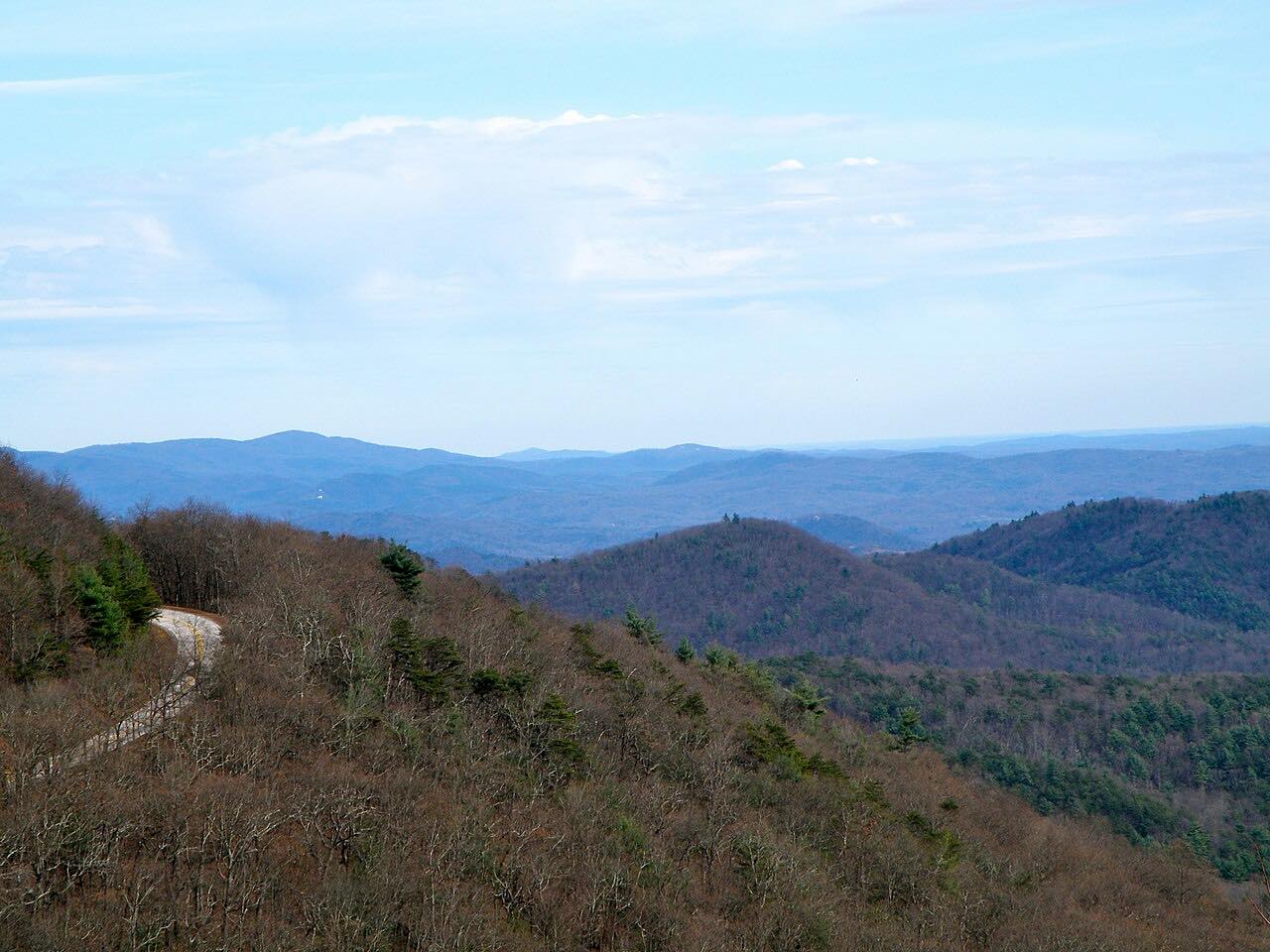
Georgia 348, the Richard B. Russell Scenic Highway, runs 13.8 miles from GA 75 Alternate near Helen to Georgia 180, crossing Hogpen Gap, where the Appalachian Trail crosses. It takes about 25 minutes. The climb is 2,700 feet to a high point of 3,500 feet, with most of the twisting in the first eight miles.
It is part of the Russell-Brasstown Scenic Byway, a loop of about 40 miles through the Chattahoochee-Oconee National Forest that follows Georgia 348, Georgia 180 and Georgia 17/75, and the Forest Service suggests allowing at least three hours. The byway also has a spur to Brasstown Bald, Georgia's tallest mountain, with a visitor center and 360-degree views.
Along the way
- Helen (GA 75 Alt)
- Hogpen Gap
- GA 180
Good to know
- The Appalachian Trail crosses the road at Hogpen Gap.
- The loop back to Helen uses Georgia 180 and Georgia 17/75, and Brasstown Bald is a short spur off Georgia 180.
- Check 511GA for closures before you go.
Open all year, weather permitting. Roads close for snow, fire, storms and repairs: before you set off, check 511GA: Georgia road conditions.
Questions about this drive
How long does the Richard B. Russell Scenic Highway take?
The 13.8-mile drive from Helen to Georgia 180 takes about 25 minutes.
What is the Russell-Brasstown Scenic Byway?
A loop of about 40 miles through the Chattahoochee-Oconee National Forest following Georgia 348, 180 and 17/75.
What is Hogpen Gap?
It is a gap on the byway where the Appalachian Trail crosses the road.
How twisty is the Richard B. Russell Scenic Highway?
Twisty, with the first eight miles the most winding.
What you get in the app
Free on iPhone and Android. CarPlay and Android Auto come with Apex.
More drives near here

Distance, time, elevation, curves and intensity are from Carve's route. Checked 2026-10-28.