Drives Georgia North Georgia and the Upstate
Wolf Pen Gap Road: GA 180
GA 180 · Suches → US 129

The drive
Georgia 180 begins at Georgia 60 in Suches, inside the Chattahoochee-Oconee National Forest. This drive takes it east for 11 miles over Wolfpen Gap to US 129 near Vogel State Park, in about 20 minutes. It is Intense, with three twisty stretches in the second half.
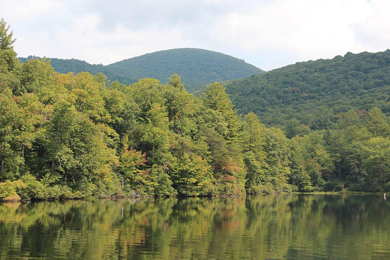
The western section, known as Wolfpen Gap Road, runs about 11.8 miles. It passes Vogel State Park, the access to Sosebee Cove, a Coosa Backcountry Trail crossing and Lake Winfield Scott. The highest point on the highway is Wolfpen Gap, at 3,260 feet. Georgia 180 meets US 19, US 129 and Georgia 11 near Vogel State Park.
Along the way
- Suches (GA 60)
- Lake Winfield Scott turnoff
- US 129 (near Vogel State Park)
Good to know
- The gap is the highest point on the highway, at 3,260 feet.
- Georgia 180 continues east of US 129 as part of the Russell-Brasstown Scenic Byway.
- Check 511GA for closures before you go.
Open all year, weather permitting. Roads close for snow, fire, storms and repairs: before you set off, check 511GA: Georgia road conditions.
Questions about this drive
How long does Wolfpen Gap Road (Georgia 180) take?
From Suches to US 129 near Vogel State Park is 11 miles and takes about 20 minutes.
How high is Wolfpen Gap?
Wolfpen Gap is the highest point on Georgia 180, at 3,260 feet.
Where does Georgia 180 start?
At Georgia 60 in Suches.
How twisty is Wolf Pen Gap Road?
It is Intense, with three twisty stretches in the second half.
What you get in the app
Free on iPhone and Android. CarPlay and Android Auto come with Apex.
More drives near here

Distance, time, elevation, curves and intensity are from Carve's route. Checked 2026-10-28.