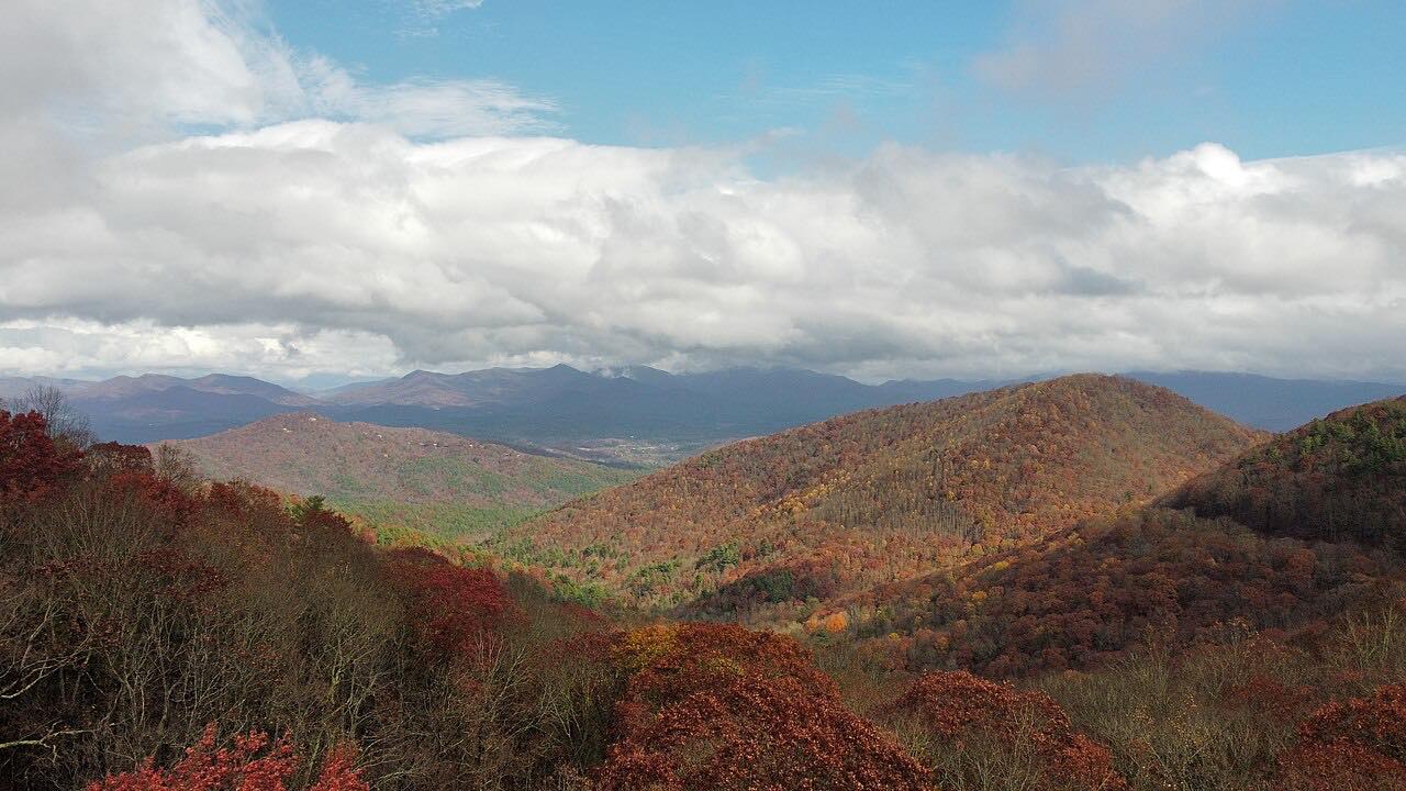
Drives Georgia North Georgia and the Upstate
Neels Gap: US 129
US 129, US 19, Gainesville Highway · Turners Corner → Vogel State Park

The drive
US 19 and US 129 run together from Turners Corner up to Neels Gap and on down to Vogel State Park. This drive is 10.4 miles and takes about 20 minutes, and it is twisty most of the way.
Neels Gap sits on the Lumpkin and Union county line, about 14.5 miles northeast of Dahlonega, and is named for W. R. Neel, a government surveyor. At the gap, Mountain Crossings at Walasi-Yi is an outdoor outfitter in a stone building from 1937, and the Appalachian Trail runs through its breezeway. It is open daily from 9 a.m. to 5 p.m.
Beyond the gap the road drops toward Vogel State Park, which lies on the west side of the highway. A runaway truck ramp is just before the park entrance.
Along the way
- Turners Corner (US 19)
- Neels Gap (Mountain Crossings)
- Vogel State Park
Good to know
- A runaway truck ramp sits just before the Vogel State Park entrance.
- Mountain Crossings at the gap is open daily from 9 a.m. to 5 p.m.
- Check 511GA for closures before you go.
Open all year, weather permitting. Roads close for snow, fire, storms and repairs: before you set off, check 511GA: Georgia road conditions.
Questions about this drive
How long does US 129 over Neels Gap take?
From Turners Corner to Vogel State Park is 10.4 miles and takes about 20 minutes.
Does the Appalachian Trail go through a building at Neels Gap?
Yes. The trail runs through the breezeway of the stone Mountain Crossings building at Walasi-Yi.
How twisty is US 129 at Neels Gap?
It is twisty most of the way.
What is at Neels Gap?
Mountain Crossings at Walasi-Yi, an outdoor outfitter on the Appalachian Trail that is open daily 9 a.m. to 5 p.m.
What you get in the app
Free on iPhone and Android. CarPlay and Android Auto come with Apex.
More drives near here

Distance, time, elevation, curves and intensity are from Carve's route. Checked 2026-10-28.