Drives Massachusetts The Berkshires and Western Massachusetts
Jacob's Ladder Trail
US 20, Russell Road, Laurel Road · Huntington → Lee

The drive
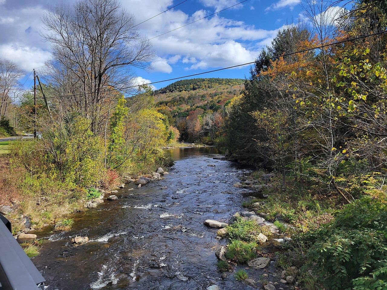
Jacob's Ladder is the name of the scenic byway on US 20 between Westfield and Lee, about 30 miles in all. This drive covers the climb from Huntington, at the edge of the Pioneer Valley, west through Chester and Becket and down into Lee.
US 20 clips the southern edge of Huntington, then passes through Chester. At Becket it shares a short stretch of road with Route 8 through the town center before Route 8 splits off, and then it runs beside the Massachusetts Turnpike toward Lee.
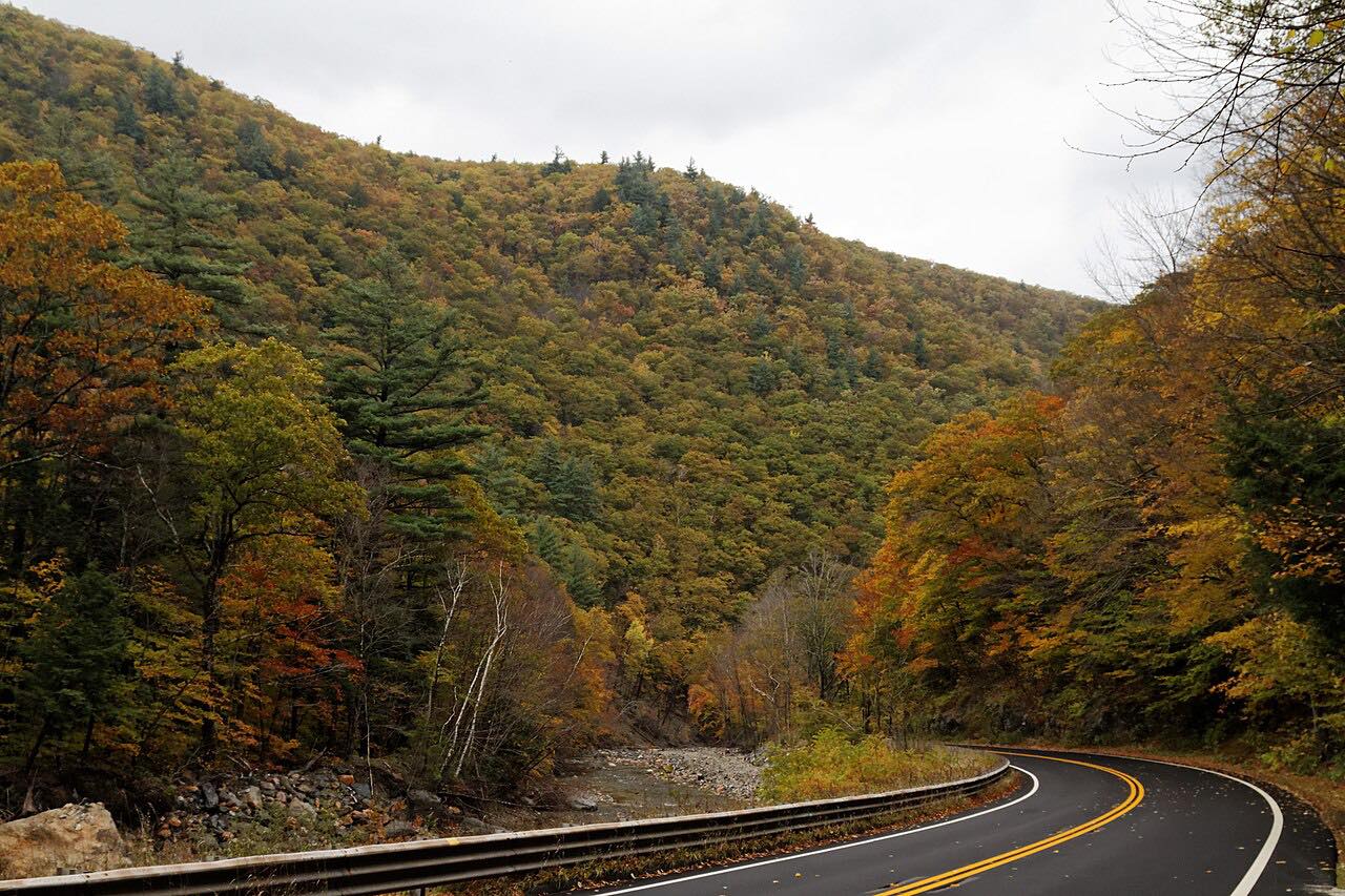
The drive is 23.8 miles and takes about 35 minutes. The road climbs 1,900 feet and tops out at 1,800 feet, with sweeping curves and one twisty stretch around miles 7 to 9.
Along the way
- Huntington
- Chester
- Lee
Good to know
- MassDOT has temporarily closed US 20 in Becket after a crash and fuel spill, so check Mass511 before going.
- US 20 shares a short stretch with Route 8 through the center of Becket.
Open all year, weather permitting. Roads close for snow, fire, storms and repairs: before you set off, check MassDOT Mass511.
Questions about this drive
How long is the Jacob's Ladder Trail from Huntington to Lee?
US 20 from Huntington to Lee is 23.8 miles and takes about 35 minutes.
What is the Jacob's Ladder Scenic Byway?
It is the name for US 20 between Westfield and Lee in western Massachusetts, a stretch of about 30 miles.
Is the Jacob's Ladder Trail twisty?
It has sweeping curves and one twisty stretch, along with long climbs as it rises into the Berkshires.
What you get in the app
Free on iPhone and Android. CarPlay and Android Auto come with Apex.
More drives near here




Distance, time, elevation, curves and intensity are from Carve's route. Checked 2026-10-28.