Drives Washington Seattle and Puget Sound
Chuckanut Drive
WA 11, Chuckanut Drive · Burlington → Fairhaven

The drive
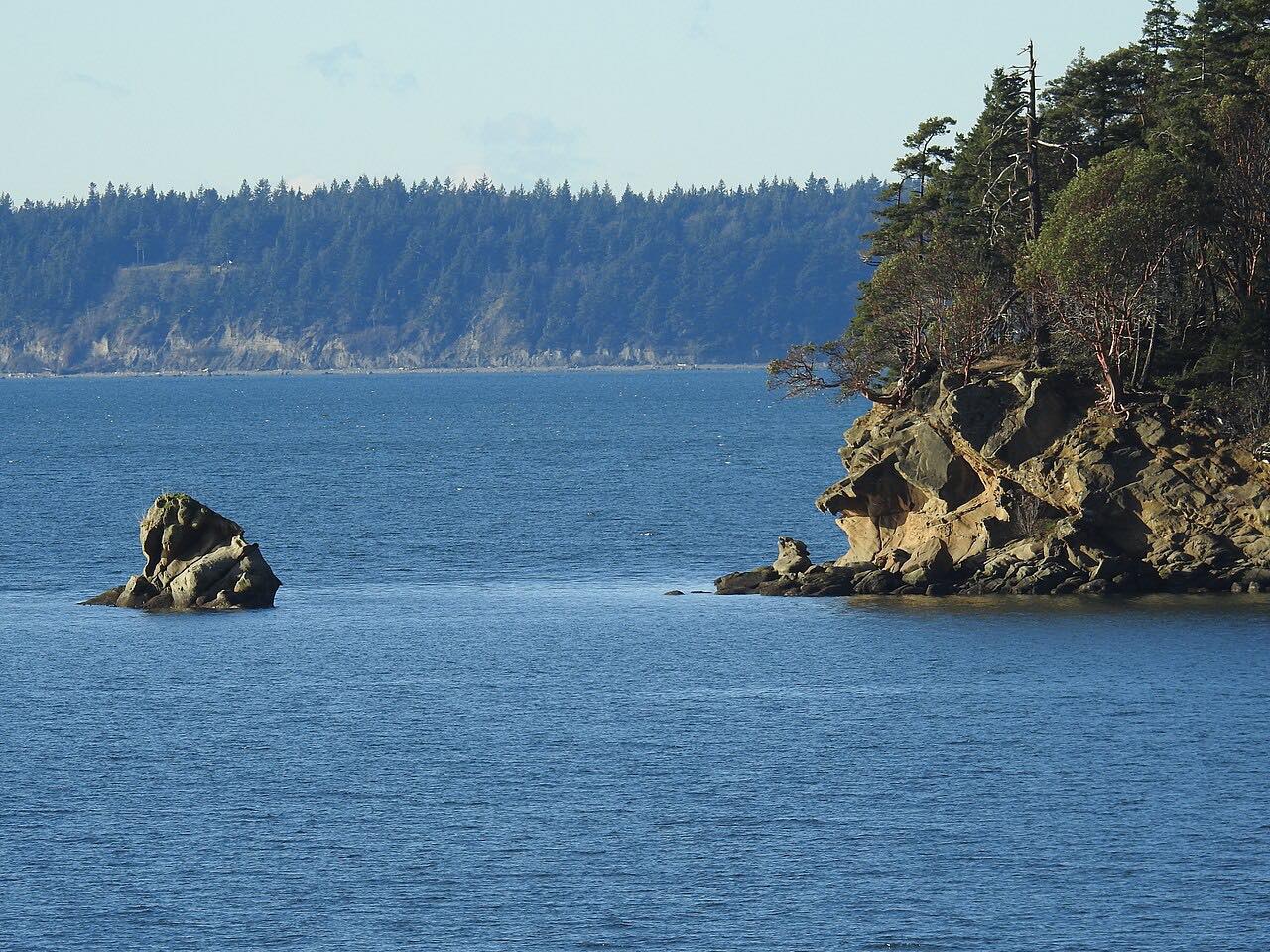
Chuckanut Drive is State Route 11, a scenic byway between Burlington and Bellingham's Fairhaven district. Driven north from Burlington, it begins across flat Samish Bay farmland, then climbs onto the sandstone cliffs of the Chuckanut Mountains, where the road is carved into the hillside above the water.
The cliff section is the part to take slowly. The road is two lanes with narrow shoulders, and it bends tightly along the bay. Larrabee State Park, Washington's first state park, is reached only by this road. The small farm towns of Bow and Edison are just off it on the Skagit side. The drive ends in historic Fairhaven.
It is 19.5 miles and takes about 35 minutes.
Along the way
- Burlington (I-5 junction)
- Larrabee State Park
- Fairhaven
Good to know
- Expect cyclists. Only some sections have bike lanes, and shoulders are narrow.
- Rockslides close the cliff section at times, sometimes for weeks.
Open all year, weather permitting. Roads close for snow, fire, storms and repairs: before you set off, check WSDOT: travel alerts.
Questions about this drive
How long does Chuckanut Drive take?
Burlington to Fairhaven on Chuckanut Drive is 19.5 miles and takes about 35 minutes without stops.
Is Chuckanut Drive twisty?
Mostly gentle, with one twisty stretch on the cliffs above Samish Bay and Chuckanut Bay, where the road is narrow with few shoulders.
Does Chuckanut Drive ever close?
Yes. Rockslides can close it, sometimes for weeks; check WSDOT before you go.
What you get in the app
Free on iPhone and Android. CarPlay and Android Auto come with Apex.
More drives near here

Distance, time, elevation, curves and intensity are from Carve's route. Checked 2026-10-28.