Drives Colorado Colorado Springs and Southern Colorado
Hardscrabble Canyon: Highway 96
CO 96 · Wetmore → Westcliffe

The drive
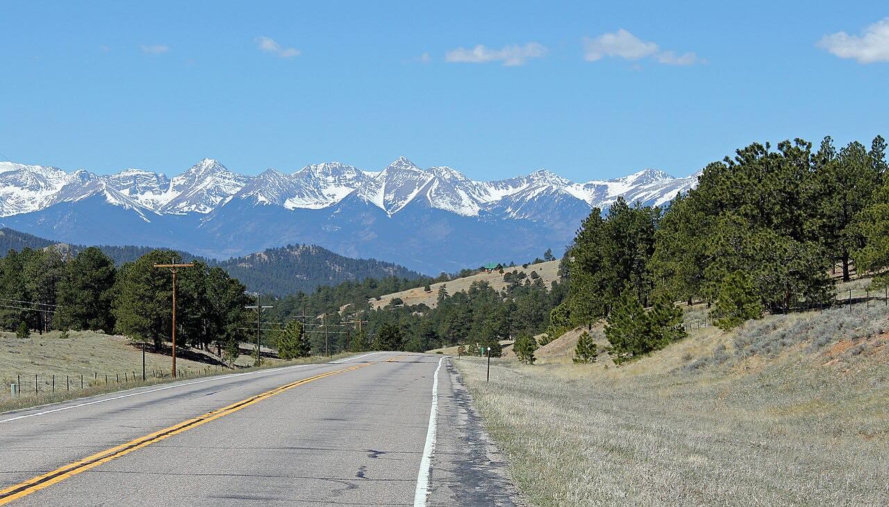
This is Colorado 96 heading west from Wetmore, where it meets CO 67, up through Hardscrabble Canyon and into the Wet Mountain Valley. The road follows Hardscrabble Creek in a steep-sided canyon, then climbs through San Isabel National Forest to Hardscrabble Pass, the highest point on the highway at 9,085 feet. The drive is 27.5 miles and takes about 36 minutes.
The valley opens out at the top. It is about 30 miles long, with the Wet Mountains to the east and the Sangre de Cristo Range along its western side. Driving west keeps that view for the end. The drive stops just west of Westcliffe, a town that, with neighboring Silver Cliff, became Colorado's first International Dark Sky Community in 2015.
This section is part of the Frontier Pathways Scenic and Historic Byway. Near Wetmore, roadside Hardscrabble signs tell the stories of early silver and gold miners.
Along the way
- Wetmore (CO-67)
- Westcliffe (west of town)
Good to know
- Passing room is limited in the canyon and wider only at higher elevations, and pullouts are scarce.
- Expect cyclists, and livestock near the road in ranch country.
- Fuel and services are limited between the towns, so start with a full tank.
- The pass tops out above 9,000 feet, so winter weather can affect the road.
Open all year, weather permitting. Roads close for snow, fire, storms and repairs: before you set off, check CDOT COtrip road conditions.
Questions about this drive
How long does Hardscrabble Canyon on Highway 96 take?
Wetmore to Westcliffe on CO 96 is 27.5 miles and takes about 36 minutes.
How high does Highway 96 go over Hardscrabble Pass?
Hardscrabble Pass is the highest point on CO 96, at 9,085 feet.
Is Highway 96 through Hardscrabble Canyon a scenic byway?
Yes. It is part of the Frontier Pathways Scenic and Historic Byway.
Is Hardscrabble Canyon curvy?
Yes. The road winds along Hardscrabble Creek with many sweeping curves, and passing is limited in the canyon.
What you get in the app
Free on iPhone and Android. CarPlay and Android Auto come with Apex.
More drives near here


Distance, time, elevation, curves and intensity are from Carve's route. Checked 2026-10-28.